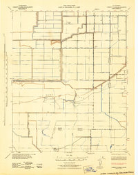
1942 Map of Liberty Farms
USGS Topo · Published 1942About this map
Agricultural reclamation and systematic water management dominate this 1942 Corps of Engineers study of the Kings County borderlands. The landscape is defined by an intricate grid of levees and canals, such as the Liberty Farms South Levee and Canal and the Kings County Canal Company Lateral A, which transformed the arid basin into productive territory. Large-scale ranching operations are prominent throughout, including Harvester Ranch, South Lake Farms, and Hacienda Ranch, each serving as a hub within the vast irrigated tracts.
Find a feature on this map
33 named features on this map. Tap any name to fly to it.
Don’t see what you’re looking for? This feature index may not catch every label — zoom into the map to look around manually.
Map Details
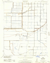
Editions of this 1942 Liberty Farms Map
2 editions found
Other maps of this area

1914 · Lost Hills
USGS Topo · 1:125,000

1927 · Lake View School
USGS Topo · 1:31,680

1928 · Corcoran
USGS Topo · 1:31,680

1929 · Alpaugh
USGS Topo · 1:31,680

1929 · Hacienda Ranch
USGS Topo · 1:31,680

1929 · West Alpaugh
USGS Topo · 1:31,680

1929 · Allensworth
USGS Topo · 1:31,680

1930 · Hamlin School
USGS Topo · 1:31,680

1930 · Miramonte Ranch
USGS Topo · 1:31,680

1931 · Harvester
USGS Topo · 1:31,680