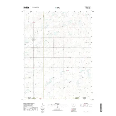
2017 Map of Liberty
USGS Topo · Published 2017About this map
Liberty sits at the heart of this landscape in southern Gage County, where the plains of Nebraska meet the Kansas border. This modern survey illustrates a high-density water management system, defined by dozens of numbered catchments like Plum Cr Reservoir 3-D and Mission Cr Reservoir 6-A. These artificial reservoirs are integrated into the headwaters of Plum Creek and Mission Creek, reflecting the region's intensive agricultural conservation efforts.
Find a feature on this map
66 named features on this map. Tap any name to fly to it.
Don’t see what you’re looking for? This feature index may not catch every label — zoom into the map to look around manually.
Map Details
Editions of this 2017 Liberty Map
This is the sole edition of this map. No revisions or reprints were ever made.
Other maps of this area

1889 · Seneca
USGS Topo · 1:125,000

1889 · Marysville
USGS Topo · 1:125,000

1894 · Seneca
USGS Topo · 1:125,000

1894 · Marysville
USGS Topo · 1:125,000

1955 · Manhattan
USGS Topo · 1:250,000

1955 · Lincoln
USGS Topo · 1:250,000

1956 · Manhattan
USGS Topo · 1:250,000

1957 · Manhattan
USGS Topo · 1:250,000

1957 · Lincoln
USGS Topo · 1:250,000

1958 · Lincoln
USGS Topo · 1:250,000