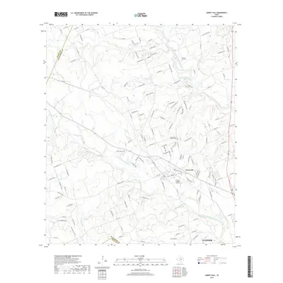
2019 Map of Liberty Hill
USGS Topo · Published 2019About this map
Liberty Hill sits at the heart of this landscape, where the North Fork San Gabriel River and South Fork San Gabriel River carve paths through the limestone hills of Williamson County. The map documents a period of residential expansion extending toward Leander in the south, yet it preserves numerous markers of the area's rural heritage. Historic burial grounds like the Williams Buck Cem and the Cementerio de las Tres Marias remain alongside more modern developments such as the Flying H Ranch Airport. The topography is defined by prominent features like Mustang Mesa and a network of seasonal waterways including Potts Br and Little Cr. This survey provides a clear view of the shifting boundary between established ranch lands and the growing suburban footprint north of Austin.
Find a feature on this map
135 named features on this map. Tap any name to fly to it.
Don’t see what you’re looking for? This feature index may not catch every label — zoom into the map to look around manually.
Map Details
Editions of this 2019 Liberty Hill Map
This is the sole edition of this map. No revisions or reprints were ever made.
Other maps of this area

1887 · Burnet
USGS Topo · 1:125,000

1893 · Georgetown
USGS Topo · 1:125,000

1893 · Burnet
USGS Topo · 1:125,000

1903 · Burnet
USGS Topo · 1:125,000

1909 · Burnet
USGS Topo · 1:125,000

1932 · Bertram
USGS Topo · 1:62,500

1954 · Llano
USGS Topo · 1:250,000

1954 · Austin
USGS Topo · 1:250,000

1955 · Llano
USGS Topo · 1:250,000

1956 · Llano
USGS Topo · 1:250,000