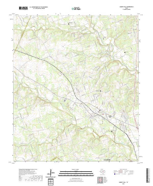
2022 Map of Liberty Hill
USGS Topo · Published 2022About this map
Liberty Hill serves as the focal point of this Williamson County landscape, situated where the Edwards Plateau begins to yield to the blackland prairies. The area is defined by the branching tributaries of the San Gabriel River, including the North Fork San Gabriel River and the S Fork San Gabriel River. These waterways carve through the limestone terrain, creating distinct landforms like Mustang Mesa.
Find a feature on this map
144 named features on this map. Tap any name to fly to it.
Don’t see what you’re looking for? This feature index may not catch every label — zoom into the map to look around manually.
Map Details
Editions of this 2022 Liberty Hill Map
This is the sole edition of this map. No revisions or reprints were ever made.
Other maps of this area

1887 · Burnet
USGS Topo · 1:125,000

1893 · Georgetown
USGS Topo · 1:125,000

1893 · Burnet
USGS Topo · 1:125,000

1903 · Burnet
USGS Topo · 1:125,000

1909 · Burnet
USGS Topo · 1:125,000

1932 · Bertram
USGS Topo · 1:62,500

1954 · Llano
USGS Topo · 1:250,000

1954 · Austin
USGS Topo · 1:250,000

1955 · Llano
USGS Topo · 1:250,000

1956 · Llano
USGS Topo · 1:250,000