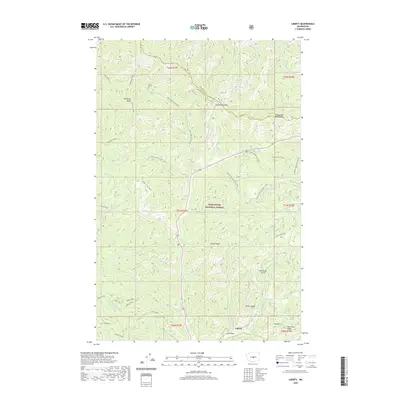
2020 Map of Liberty
USGS Topo · Published 2020About this map
Liberty sits at the southern edge of this mountain survey, a historic mining settlement located where Williams Cr meets Swauk Cr. The landscape is dominated by the complex terrain of the Wenatchee National Forest, which includes the high elevations of the Wenatchee Mountains and Teanaway Ridge. A network of specialized winter trails, such as the Iron Creek Trail (Snow) and the Hurley Creek Ski Trail (Snow), suggests a modern economy oriented toward seasonal recreation. Significant historical landmarks are noted along the northern corridor, most notably the crossing at Old Blewett Pass on the boundary between Chelan and Kittitas counties. Steep drainages like Billy Goat Gulch and Lion Gulch define the local topography, while the Mineral Springs Resort remains a focal point for travelers along the central valley floor.
Find a feature on this map
52 named features on this map. Tap any name to fly to it.
Don’t see what you’re looking for? This feature index may not catch every label — zoom into the map to look around manually.
Map Details
Editions of this 2020 Liberty Map
This is the sole edition of this map. No revisions or reprints were ever made.
Other maps of this area

1897 · Mount Stuart
USGS Topo · 1:125,000

1902 · Mount Stuart
USGS Topo · 1:125,000

1957 · Wenatchee
USGS Topo · 1:250,000

1958 · Thorp
USGS Topo · 1:62,500

1958 · Cle Elum
USGS Topo · 1:62,500

1961 · Liberty
USGS Topo · 1:62,500

1961 · Mount Stuart
USGS Topo · 1:62,500

1975 · Wenatchee
USGS Topo · 1:100,000
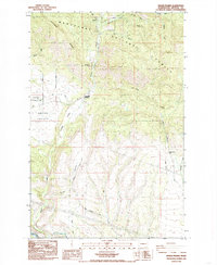
1985 · Swauk Prairie
USGS Topo · 1:24,000
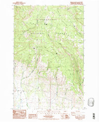
1985 · Reecer Canyon
USGS Topo · 1:24,000