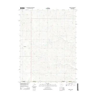
2014 Map of Liberty SE
USGS Topo · Published 2014About this map
Bookwalter stands along the western edge of this survey area, which straddles the border between Pawnee and Marshall Counties. The landscape is defined by a dense network of tributaries flowing through the rolling borderlands between Nebraska and Kansas, where agricultural section lines are punctuated by numerous creek crossings. In the north, Plum Cr Reservoir 6-A manages the waters of Plum Cr, while further south, the drainage systems of W Br Turkey Cr and Wildcat Cr carve distinct paths through the countryside. This 2014 edition captures the rural character of the region, emphasizing the importance of local water management and the established road grid that connects these farming communities across state lines. The mapping of Mission Cr, Johnson Cr, and Robidoux Cr provides a clear view of the complex hydrology that has historically dictated the placement of homesteads and local transit routes.
Find a feature on this map
24 named features on this map. Tap any name to fly to it.
Don’t see what you’re looking for? This feature index may not catch every label — zoom into the map to look around manually.
Map Details
Editions of this 2014 Liberty SE Map
This is the sole edition of this map. No revisions or reprints were ever made.
Other maps of this area

1889 · Seneca
USGS Topo · 1:125,000

1894 · Seneca
USGS Topo · 1:125,000

1955 · Manhattan
USGS Topo · 1:250,000

1955 · Lincoln
USGS Topo · 1:250,000

1956 · Manhattan
USGS Topo · 1:250,000

1957 · Manhattan
USGS Topo · 1:250,000

1957 · Lincoln
USGS Topo · 1:250,000

1958 · Lincoln
USGS Topo · 1:250,000

1965 · Pawnee City
USGS Topo · 1:24,000

1965 · Burchard
USGS Topo · 1:24,000