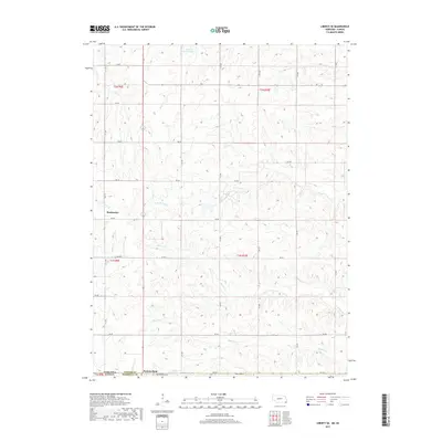
2017 Map of Liberty SE
USGS Topo · Published 2017About this map
Summerfield straddles the state line between Nebraska and Kansas, serving as the primary anchor for this rural landscape in Marshall County. The town site is accompanied by the nearby Summerfield Cem, providing a focal point for family researchers interested in the southern edge of the quadrangle. To the northwest, the settlement of Bookwalter sits amidst a complex drainage network where local creeks define the topography.
Find a feature on this map
37 named features on this map. Tap any name to fly to it.
Don’t see what you’re looking for? This feature index may not catch every label — zoom into the map to look around manually.
Map Details
Editions of this 2017 Liberty SE Map
This is the sole edition of this map. No revisions or reprints were ever made.
Other maps of this area

1889 · Seneca
USGS Topo · 1:125,000

1894 · Seneca
USGS Topo · 1:125,000

1955 · Manhattan
USGS Topo · 1:250,000

1955 · Lincoln
USGS Topo · 1:250,000

1956 · Manhattan
USGS Topo · 1:250,000

1957 · Manhattan
USGS Topo · 1:250,000

1957 · Lincoln
USGS Topo · 1:250,000

1958 · Lincoln
USGS Topo · 1:250,000

1965 · Pawnee City
USGS Topo · 1:24,000

1965 · Burchard
USGS Topo · 1:24,000