Loading...
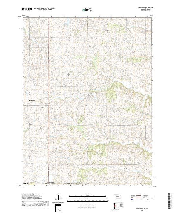
Loading map...2021 Map of Liberty SE
USGS Topo · Published 2021About this map
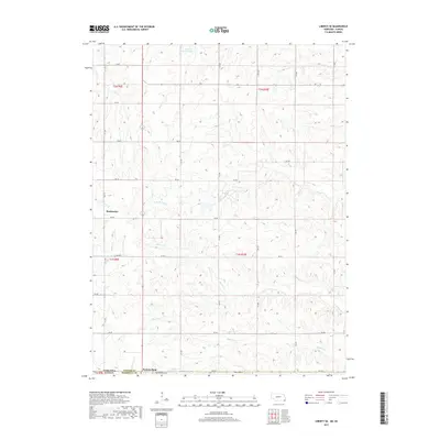
Summerfield straddles the state line in this contemporary landscape of rolling section-line roads and prairie drainages. The settlement's southern edge rests on the Nebraska-Kansas border, where it meets the Summerfield Cem. This agricultural region is defined by a dense network of creeks, including the south-flowing Johnson Cr and Wildcat Cr, which carve through the terrain of Pawnee County and Marshall County.
Find a feature on this map
37 named features on this map. Tap any name to fly to it.
Don’t see what you’re looking for? This feature index may not catch every label — zoom into the map to look around manually.
Map Details
Date Portrayed2021
Date Published2021
PublisherU.S. Geological Survey
Map TypeTopographic
Scale1:24,000
Physical Dimensions24 x 29 inches
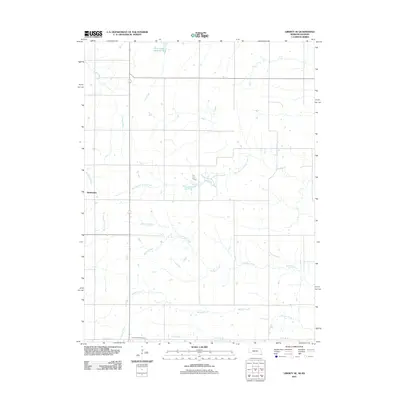
Editions of this 2021 Liberty SE Map
This is the sole edition of this map. No revisions or reprints were ever made.
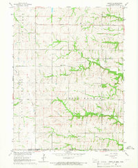
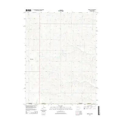
Historical Maps of Summerfield Through Time
5 maps found
Featured Locations
Source Details
SourceU.S. Geological Survey
CopyrightPublic Domain