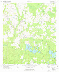
1973 Map of Liberty
USGS Topo · Published 1976About this map
The Liberty community and surrounding Walton County landscape are defined by a complex network of waterways and springs as they appeared in the early 1970s. This survey by the U.S. Geological Survey and the Florida Department of Transportation captures a period where the local economy remained tied to the land, evidenced by numerous Sandpits and a rural settlement pattern centered on places like Cluster Springs and Piney Grove.
Find a feature on this map
34 named features on this map. Tap any name to fly to it.
Don’t see what you’re looking for? This feature index may not catch every label — zoom into the map to look around manually.
Map Details
Editions of this 1973 Liberty Map
2 editions found
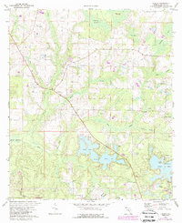
Other maps of this area

1934 · Niceville
USGS Topo · 1:48,000

1935 · De Funiak Springs
USGS Topo · 1:48,000

1936 · Niceville
USGS Topo · 1:62,500

1938 · De Funiak Springs
USGS Topo · 1:62,500

1949 · Glendale
USGS Topo · 1:62,500

1949 · Laurel Hill
USGS Topo · 1:62,500

1950 · Laurel Hill
USGS Topo · 1:62,500

1951 · Glendale
USGS Topo · 1:62,500

1956 · Niceville
USGS Topo · 1:62,500

1957 · Pensacola
USGS Topo · 1:250,000