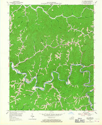
1954 Map of Lick Creek
USGS Topo · Published 1967About this map
The winding Levisa Fork and its complex network of mountain hollows dominate this 1950s study of Pike County's coal country. The landscape is defined by the heavy infrastructure of mid-century extraction and transport, notably the Chesapeake and Ohio RR and Norfolk and Western RR tracks that follow the river bends. Evidence of the local economy appears in a strip mine near the southern border and a belt conveyor system near Mouthcard.
Find a feature on this map
75 named features on this map. Tap any name to fly to it.
Don’t see what you’re looking for? This feature index may not catch every label — zoom into the map to look around manually.
Map Details
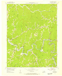
Editions of this 1954 Lick Creek Map
2 editions found
Other maps of this area

1886 · Grundy
USGS Topo · 1:125,000

1887 · Warfield
USGS Topo · 1:125,000

1890 · Grundy
USGS Topo · 1:125,000

1891 · Warfield
USGS Topo · 1:125,000

1892 · Grundy
USGS Topo · 1:125,000

1909 · Matewan
USGS Topo · 1:48,000

1914 · Hurley
USGS Topo · 1:48,000

1915 · Regina
USGS Topo · 1:48,000

1915 · Hurley
USGS Topo · 1:48,000

1915 · Williamson
USGS Topo · 1:48,000