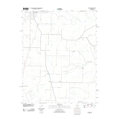
2011 Map of Licking
USGS Topo · Published 2011About this map
Licking stands at the northern edge of this Ozark landscape, where the town’s grid gives way to a network of rural roads and creek-cut valleys. The terrain is defined by its drainages, including the headwaters of Brushy Creek and the winding course of Boone Creek. Small rural communities like Oscar and Mahan serve as local anchors, connected by routes such as Creek Rd and Sackett Rd.
Find a feature on this map
58 named features on this map. Tap any name to fly to it.
Don’t see what you’re looking for? This feature index may not catch every label — zoom into the map to look around manually.
Map Details
Editions of this 2011 Licking Map
This is the sole edition of this map. No revisions or reprints were ever made.
Other maps of this area

1932 · Cedar Grove
USGS Topo · 1:48,000

1937 · Edgar Springs
USGS Topo · 1:48,000

1941 · Salem
USGS Topo · 1:62,500

1945 · Salem
USGS Topo · 1:62,500

1945 · Edgar Springs
USGS Topo · 1:62,500

1949 · Rolla
USGS Topo · 1:250,000

1951 · Montauk
USGS Topo · 1:24,000

1951 · Licking
USGS Topo · 1:24,000

1951 · Raymondville
USGS Topo · 1:24,000

1951 · Prescott
USGS Topo · 1:24,000