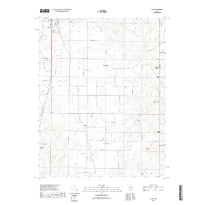
2017 Map of Licking
USGS Topo · Published 2017About this map
Licking anchor the northern reaches of this Texas County landscape, where the street grid of Main St and Maple Ave gives way to the winding rural roads of the Missouri Ozarks. The terrain is deeply etched by a network of drainage systems, including Boone Creek and Bean Creek, which have carved out distinct named landforms such as Woodard Hollow and Wolf Hollow. Further south, the small settlement of Oscar sits near the headwaters of Bender Creek. Genealogical interest is found in local landmarks like Presser Cem and Mahan Cem, while the natural hydrography is highlighted by Ajee Spring and Mounty Spring. The map documents a landscape defined by its hollows and springs, illustrating how the physical geography has dictated the placement of roads like Old Salem Rd and Hartville Rd.
Find a feature on this map
90 named features on this map. Tap any name to fly to it.
Don’t see what you’re looking for? This feature index may not catch every label — zoom into the map to look around manually.
Map Details
Editions of this 2017 Licking Map
This is the sole edition of this map. No revisions or reprints were ever made.
Other maps of this area

1932 · Cedar Grove
USGS Topo · 1:48,000

1937 · Edgar Springs
USGS Topo · 1:48,000

1941 · Salem
USGS Topo · 1:62,500

1945 · Salem
USGS Topo · 1:62,500

1945 · Edgar Springs
USGS Topo · 1:62,500

1949 · Rolla
USGS Topo · 1:250,000

1951 · Montauk
USGS Topo · 1:24,000

1951 · Licking
USGS Topo · 1:24,000

1951 · Raymondville
USGS Topo · 1:24,000

1951 · Prescott
USGS Topo · 1:24,000