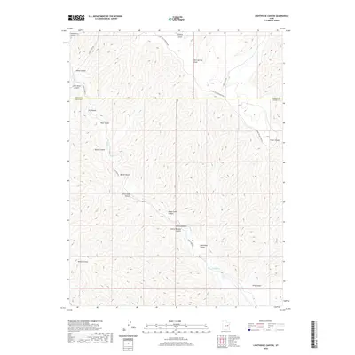
2020 Map of Lighthouse Canyon
USGS Topo · Published 2020About this map
Tavapats Ranch Airport sits atop the high plateau of the West Tavaputs, a landmark of aviation and ranching history in this isolated section of the Green River watershed. The landscape is defined by the deep incisions of Range Cr, which flows through a complex series of drainage systems including Range Creek Canyon and Lighthouse Canyon. This topography reveals a rugged canyon-and-plateau system where access is limited to a few ridge-top and floor routes like Range Valley Mountain Rd and Range Creek Rd.
Find a feature on this map
24 named features on this map. Tap any name to fly to it.
Don’t see what you’re looking for? This feature index may not catch every label — zoom into the map to look around manually.
Map Details
Editions of this 2020 Lighthouse Canyon Map
This is the sole edition of this map. No revisions or reprints were ever made.
Other maps of this area

1886 · Price River
USGS Topo · 1:250,000

1896 · Price River
USGS Topo · 1:250,000

1915 · Sunnyside
USGS Topo · 1:62,500

1948 · Woodside
USGS Topo · 1:62,500

1949 · Woodside
USGS Topo · 1:62,500

1950 · Woodside
USGS Topo · 1:62,500

1954 · Flat Canyon
USGS Topo · 1:62,500

1954 · Range Creek
USGS Topo · 1:62,500

1956 · Price
USGS Topo · 1:250,000

1960 · Price
USGS Topo · 1:250,000