
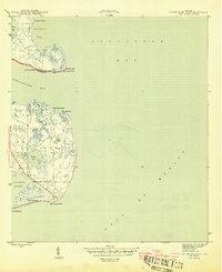
1945 Map of Lighthouse Point
USGS Topo · Published 1945About this map
Coastal fisheries and marshland define this World War II era survey of the Franklin and Wakulla county line. The landscape is dominated by tidal networks and isolated outposts of the regional fishing economy, including the Ochlockonee Fishery on Mashes Island and the Sunday Reel Fishery further south on St James Island. These small coastal operations represent the primary human imprint on a terrain otherwise shaped by water and shifting sands.
Find a feature on this map
26 named features on this map. Tap any name to fly to it.
Don’t see what you’re looking for? This feature index may not catch every label — zoom into the map to look around manually.
Map Details
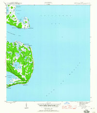
Editions of this 1945 Lighthouse Point Map
3 editions found
Other maps of this area

1940 · Arran
USGS Topo · 1:62,500

1943 · Arran
USGS Topo · 1:62,500

1943 · St. Teresa Beach
USGS Topo · 1:24,000

1943 · Lighthouse Point
USGS Topo · 1:24,000

1945 · St Teresa
USGS Topo · 1:31,680

1949 · Apalachicola
USGS Topo · 1:250,000

1954 · Sprague Island
USGS Topo · 1:24,000

1954 · Tallahassee
USGS Topo · 1:250,000

1957 · Apalachicola
USGS Topo · 1:250,000

1959 · Apalachicola
USGS Topo · 1:250,000