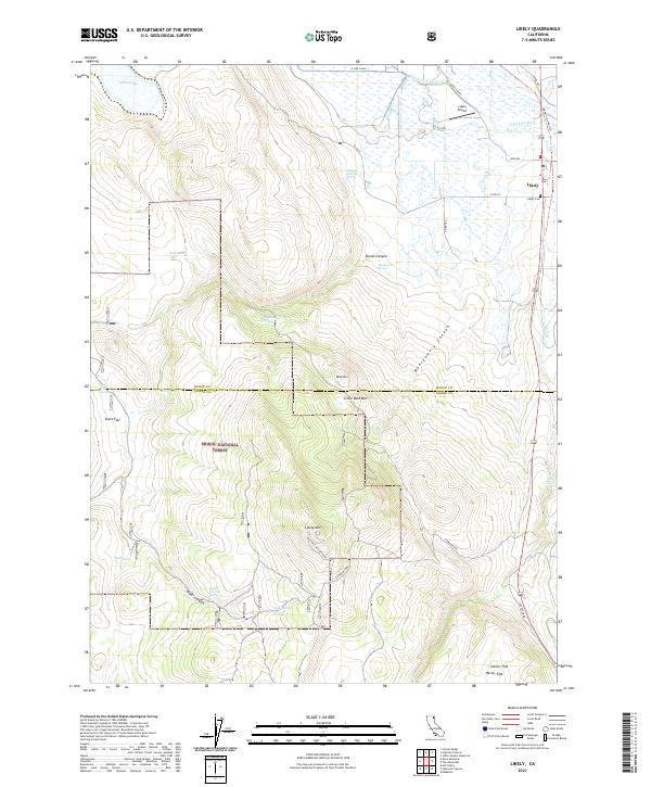
2021 Map of Likely
USGS Topo · Published 2021About this map
The settlement of Likely serves as a focal point in this high-desert landscape, situated where the South Fork Pit River flows through the valley near the Modoc Line Rail Trl. Local infrastructure is anchored by the Likely Airport and the nearby Likely Cemetery, reflecting the community's established roots along the Highway 395 corridor. The map reveals a transition from the riparian wetlands of the river basin to the upland terrain of the Modoc National Forest.
Find a feature on this map
41 named features on this map. Tap any name to fly to it.
Don’t see what you’re looking for? This feature index may not catch every label — zoom into the map to look around manually.
Map Details
Editions of this 2021 Likely Map
This is the sole edition of this map. No revisions or reprints were ever made.
Other maps of this area

1886 · Alturas
USGS Topo · 1:250,000

1892 · Alturas
USGS Topo · 1:250,000

1954 · Alturas
USGS Topo · 1:250,000

1958 · Alturas
USGS Topo · 1:250,000

1961 · Alturas
USGS Topo · 1:62,500

1962 · Alturas
USGS Topo · 1:250,000

1962 · Tule Mountain
USGS Topo · 1:24,000
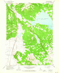
1962 · Madeline
USGS Topo · 1:24,000

1962 · Likely
USGS Topo · 1:62,500

1963 · Little Juniper Reservoir
USGS Topo · 1:24,000