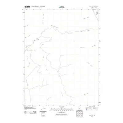
2011 Map of Lila Point
USGS Topo · Published 2011About this map
The Geneva Coal Mine stands as a primary industrial landmark in this corner of the Book Cliffs, located along the western reaches of Horse Canyon. The terrain is defined by a complex network of steep drainages and flat-topped landmarks, most notably the high vantage of Lila Point. Watercourses such as the North Fork Horse Canyon and South Fork Horse Canyon cut through the landscape, eventually merging into larger systems like Grassy Wash.
Find a feature on this map
24 named features on this map. Tap any name to fly to it.
Don’t see what you’re looking for? This feature index may not catch every label — zoom into the map to look around manually.
Map Details
Editions of this 2011 Lila Point Map
This is the sole edition of this map. No revisions or reprints were ever made.
Other maps of this area

1886 · Price River
USGS Topo · 1:250,000

1896 · Price River
USGS Topo · 1:250,000

1915 · Sunnyside
USGS Topo · 1:62,500

1948 · Woodside
USGS Topo · 1:62,500

1949 · Woodside
USGS Topo · 1:62,500

1950 · Woodside
USGS Topo · 1:62,500

1954 · Flat Canyon
USGS Topo · 1:62,500

1954 · Range Creek
USGS Topo · 1:62,500

1956 · Price
USGS Topo · 1:250,000

1960 · Price
USGS Topo · 1:250,000