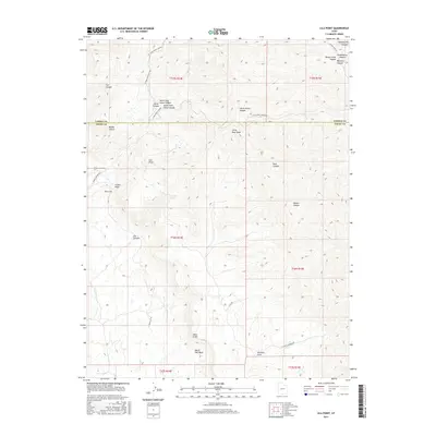
2017 Map of Lila Point
USGS Topo · Published 2017About this map
The Book Cliffs provide a dramatic backdrop to this high-desert region where Carbon and Emery Counties meet. This 2017 survey details a landscape defined by an intricate network of deep drainages, including the prominent Horse Canyon and its many branches like Left Fork Horse Canyon and North Fork Horse Canyon. The topography is dominated by massive elevated features like Lila Point, which overlooks the descent into Lila Canyon to the south.
Find a feature on this map
34 named features on this map. Tap any name to fly to it.
Don’t see what you’re looking for? This feature index may not catch every label — zoom into the map to look around manually.
Map Details
Editions of this 2017 Lila Point Map
This is the sole edition of this map. No revisions or reprints were ever made.
Other maps of this area

1886 · Price River
USGS Topo · 1:250,000

1896 · Price River
USGS Topo · 1:250,000

1915 · Sunnyside
USGS Topo · 1:62,500

1948 · Woodside
USGS Topo · 1:62,500

1949 · Woodside
USGS Topo · 1:62,500

1950 · Woodside
USGS Topo · 1:62,500

1954 · Flat Canyon
USGS Topo · 1:62,500

1954 · Range Creek
USGS Topo · 1:62,500

1956 · Price
USGS Topo · 1:250,000

1960 · Price
USGS Topo · 1:250,000