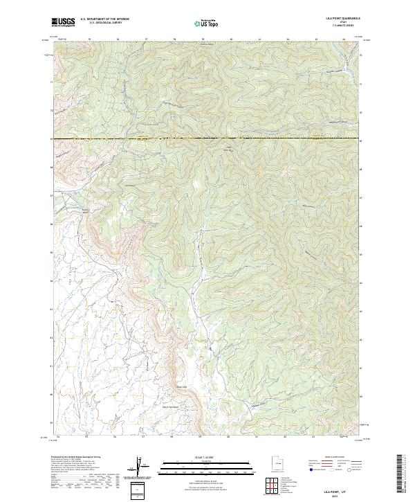
2023 Map of Lila Point
USGS Topo · Published 2023About this map
The Book Cliffs dominate the southern portion of this terrain, where the high desert landscape drops away toward Marsh Flat Wash and Williams Draw. This 2023 edition documents the complex drainage systems of the East Carbon and Sunnyside area, tracking the numerous forks and canyons that define the local geography. High points like Patmos Ridge and Lila Point overlook a network of seasonal watercourses, including Lila Canyon and North Fork Horse Canyon. The map reveals the transit corridors used to navigate this transition from ridge to basin, notably Horse Canyon Rd and Range Creek Rd. The boundary between Carbon and Emery counties cuts through the northern section, crossing over Little Horse Canyon Rd and South Fork Horse Canyon. This survey provides a precise modern record of the naming conventions and land divisions across these distinctive geological formations.
Find a feature on this map
25 named features on this map. Tap any name to fly to it.
Don’t see what you’re looking for? This feature index may not catch every label — zoom into the map to look around manually.
Map Details
Editions of this 2023 Lila Point Map
This is the sole edition of this map. No revisions or reprints were ever made.
Other maps of this area

1886 · Price River
USGS Topo · 1:250,000

1896 · Price River
USGS Topo · 1:250,000

1915 · Sunnyside
USGS Topo · 1:62,500

1948 · Woodside
USGS Topo · 1:62,500

1949 · Woodside
USGS Topo · 1:62,500

1950 · Woodside
USGS Topo · 1:62,500

1954 · Flat Canyon
USGS Topo · 1:62,500

1954 · Range Creek
USGS Topo · 1:62,500

1956 · Price
USGS Topo · 1:250,000

1960 · Price
USGS Topo · 1:250,000