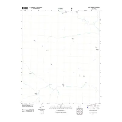
2011 Map of Lilley Mountain
USGS Topo · Published 2011About this map
The Middle Fork Gila River and West Fork Gila River carve through this reach of the Gila Wilderness, defining a landscape of deep canyons and high mesas. This 2011 survey captures the remote character of the Jerky Mountains and Jackson Mesa, where drainage systems like Clear Creek and Prior Creek converge. Human presence is marked by isolated outposts, specifically Trotter Cabin in the north near Swinging Cross Canyon and White Creek Cabin further south along White Creek.
Find a feature on this map
25 named features on this map. Tap any name to fly to it.
Don’t see what you’re looking for? This feature index may not catch every label — zoom into the map to look around manually.
Map Details
Editions of this 2011 Lilley Mountain Map
This is the sole edition of this map. No revisions or reprints were ever made.
Other maps of this area

1910 · Mogollon
USGS Topo · 1:125,000

1911 · Alum Mountain
USGS Topo · 1:125,000

1912 · Mogollon
USGS Topo · 1:125,000

1913 · Alum Mountain
USGS Topo · 1:125,000

1954 · Clifton
USGS Topo · 1:250,000

1957 · Clifton
USGS Topo · 1:250,000

1958 · Clifton
USGS Topo · 1:250,000

1962 · Clifton
USGS Topo · 1:250,000

1963 · Negrito Mountain
USGS Topo · 1:24,000
1963 · Loco Mountain
USGS Topo · 1:24,000