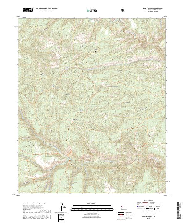
2023 Map of Lilley Mountain
USGS Topo · Published 2023About this map
Lilley Park serves as a key waypoint in this high-elevation reach of the Gila National Forest, where the complex drainage systems of the West Fork Gila River and Middle Fork Gila River converge. The landscape is defined by the sharp elevations of the Jerky Mountains and Lilley Mtn, characterized by numerous natural springs like Quentin Spring and Marrs Spring that support the local ecology.
Find a feature on this map
52 named features on this map. Tap any name to fly to it.
Don’t see what you’re looking for? This feature index may not catch every label — zoom into the map to look around manually.
Map Details
Editions of this 2023 Lilley Mountain Map
This is the sole edition of this map. No revisions or reprints were ever made.
Other maps of this area

1910 · Mogollon
USGS Topo · 1:125,000

1911 · Alum Mountain
USGS Topo · 1:125,000

1912 · Mogollon
USGS Topo · 1:125,000

1913 · Alum Mountain
USGS Topo · 1:125,000

1954 · Clifton
USGS Topo · 1:250,000

1957 · Clifton
USGS Topo · 1:250,000

1958 · Clifton
USGS Topo · 1:250,000

1962 · Clifton
USGS Topo · 1:250,000

1963 · Negrito Mountain
USGS Topo · 1:24,000
1963 · Loco Mountain
USGS Topo · 1:24,000