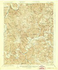
1929 Map of Lillydale
USGS Topo · Published 1929About this map
The Cumberland River and Obey River define the life of this border region between Kentucky and Tennessee in the 1920s. Before modern damming altered these river basins, ferries and river landings such as Blacks Ferry and Strodes Landing served as vital transportation nodes. The landscape is densely marked by the presence of numerous neighborhood institutions, including the Christian Chapel, New Salem Church, and Hickory Grove Church. Small rural schools like Neeleys Ferry School, Bearwallow School, and Holly Creek School appear in nearly every drainage, reflecting a decentralized population of family farms and small crossroad communities. Numerous country stores, such as Pea Ridge Store, Blythe Store, and Thompsons Store, were the primary commercial hubs for the residents of Willow Grove and Lillydale. The intricate network of bends and bars, including Salt Lick Bend and Biggerstaff Bar, shows the complex hydrology of the rivers that once dictated the pace of commerce in Clay and Monroe counties.
Find a feature on this map
153 named features on this map. Tap any name to fly to it.
Don’t see what you’re looking for? This feature index may not catch every label — zoom into the map to look around manually.
Map Details
Editions of this 1929 Lillydale Map
3 editions found
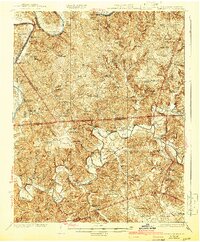
Other maps of this area

1897 · Standingstone
USGS Topo · 1:125,000

1898 · Standingstone
USGS Topo · 1:125,000

1924 · Lillydale
USGS Topo · 1:62,500

1925 · Gainesboro
USGS Topo · 1:62,500

1926 · Lillydale
USGS Topo · 1:62,500

1929 · Lillydale
USGS Topo · 1:62,500

1929 · Byrdstown
USGS Topo · 1:62,500

1929 · Gainesboro
USGS Topo · 1:62,500

1929 · Tompkinsville
USGS Topo · 1:62,500

1944 · Livingston
USGS Topo · 1:24,000