
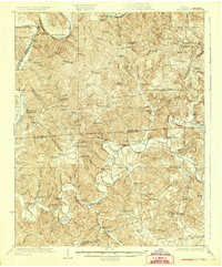
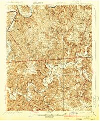
1929 Map of Lillydale
USGS Topo · Published 1929About this map
The Cumberland River and Obey River define this deeply dissected landscape along the Tennessee-Kentucky border during the mid-1920s. This survey records a river-dependent economy in the years before major dam projects transformed the region's hydrology. Scores of named river bends, such as Goodpasture Bend and Peterman Bend, sit adjacent to fertile bottomlands like Washes Bottom and Vernon Bottom, which supported an extensive network of small farming communities.
Find a feature on this map
105 named features on this map. Tap any name to fly to it.
Don’t see what you’re looking for? This feature index may not catch every label — zoom into the map to look around manually.
Map Details
Editions of this 1929 Lillydale Map
3 editions found
Other maps of this area

1897 · Standingstone
USGS Topo · 1:125,000

1898 · Standingstone
USGS Topo · 1:125,000

1924 · Lillydale
USGS Topo · 1:62,500

1925 · Gainesboro
USGS Topo · 1:62,500

1926 · Lillydale
USGS Topo · 1:62,500

1929 · Byrdstown
USGS Topo · 1:62,500

1929 · Gainesboro
USGS Topo · 1:62,500

1929 · Tompkinsville
USGS Topo · 1:62,500

1944 · Livingston
USGS Topo · 1:24,000

1953 · Waterview
USGS Topo · 1:24,000