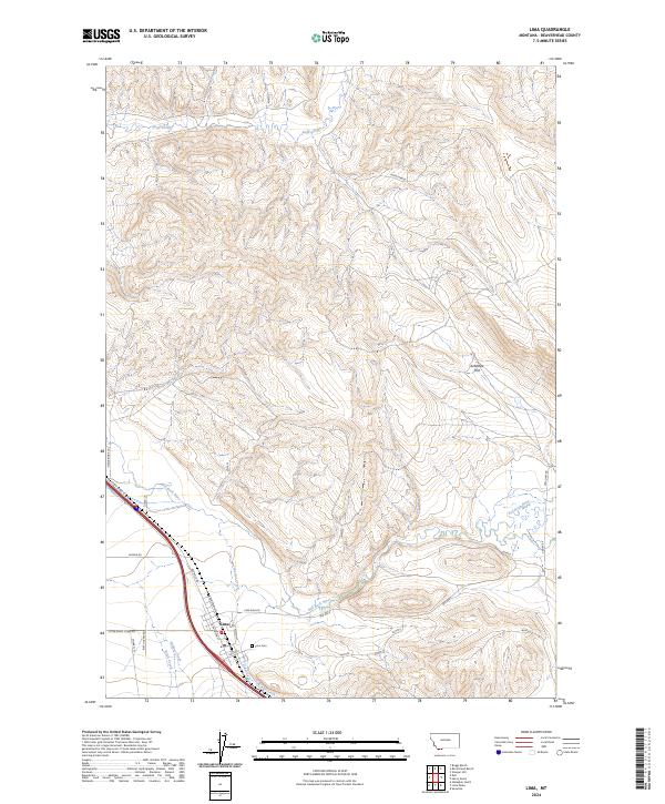
2024 Map of Lima
USGS Topo · Published 2024About this map
The town of Lima serves as the focal point of this southwestern Montana landscape, situated where the high-altitude valley floor meets the rising slopes of Beaverhead County. The settlement pattern is defined by its proximity to the Red Rock River and a network of mountain-fed streams, including Sage Creek to the north and the confluence of Junction Creek and Alder Creek near the town site. For genealogists and local historians, the Lima Cem provides a specific point of interest on the eastern edge of the community. The infrastructure here is a blend of modern corridors and legacy routes, with Old Us Hwy 91 and Steelbridge Ln tracing the valley floor. To the east, the terrain opens into Antelope Flat, illustrating the transition from the riparian corridors of Willow Creek and Birch Creek to the broader, more arid upland grazing lands typical of the region.
Find a feature on this map
30 named features on this map. Tap any name to fly to it.
Don’t see what you’re looking for? This feature index may not catch every label — zoom into the map to look around manually.
Map Details
Editions of this 2024 Lima Map
This is the sole edition of this map. No revisions or reprints were ever made.
Other maps of this area

1955 · Dubois
USGS Topo · 1:250,000

1958 · Dubois
USGS Topo · 1:250,000

1965 · Gallagher Gulch
USGS Topo · 1:24,000

1965 · Lima
USGS Topo · 1:24,000

1965 · Briggs Ranch
USGS Topo · 1:24,000

1965 · Rock Island Ranch
USGS Topo · 1:24,000

1965 · Dell
USGS Topo · 1:24,000

1965 · Lima Peaks
USGS Topo · 1:24,000

1968 · Snowline
USGS Topo · 1:24,000

1968 · Vinegar Hill
USGS Topo · 1:24,000