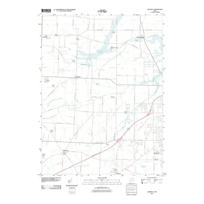
2023 Map of Limaville
USGS Topo · Published 2023About this map
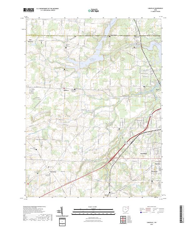
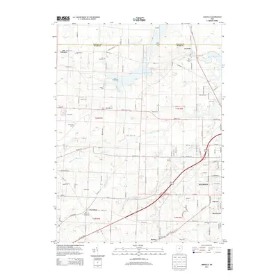
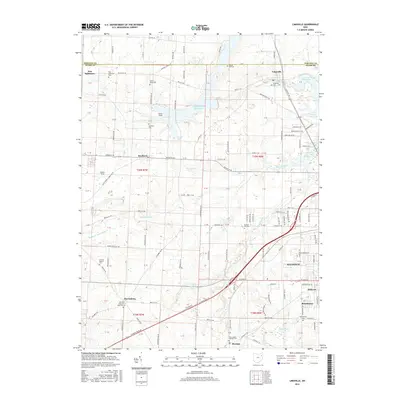
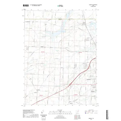
Dale Walborn Reservoir and the smaller Deer Creek Reservoir dominate the landscape of the Limaville quadrangle, where the borders of Portage Co and Stark Co meet. The area is defined by a high concentration of early religious and family burial sites, including the Marlboro Quaker Burying Grounds and Saint Pauls Reform Church Cem. These sites, alongside numerous others like Ringer Cem and West Beech Cem, suggest a deeply rooted settlement pattern of small farming communities such as New Baltimore, Harrisburg, and Marlboro. Modern infrastructure, including the Atlantic Blvd NE corridor, cuts across a terrain still shaped by the headwaters of the Middle Branch Nimishillen Creek and the meandering path of Beech Creek, illustrating the long-term evolution of eastern Ohio’s rural townships into their current mixed-use state.
Find a feature on this map
125 named features on this map. Tap any name to fly to it.
Don’t see what you’re looking for? This feature index may not catch every label — zoom into the map to look around manually.
Map Details
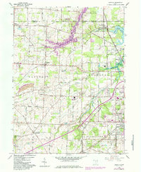
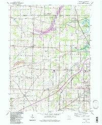
Editions of this 2023 Limaville Map
This is the sole edition of this map. No revisions or reprints were ever made.
Historical Maps of Alliance Through Time
7 maps found
Featured Locations
- Alliance, OH
- Washington Township, OH
- Limaville, OH
- Marlboro, Marlboro Township
- Beechwood, Washington Township