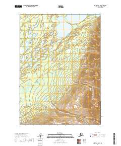
2019 Map of Lime Hills A-3 SE
USGS Topo · Published 2019About this map
Lake Clark National Preserve dominates this portion of the Alaska interior, representing a landscape of glacial waters and high-altitude terrain within the Bethel Census Area. The southern expansion of Two Lakes serves as a primary geographic anchor in the north, while the Necons River meanders through the western valleys, illustrating the complex drainage patterns of this subarctic wilderness. This 2019 survey documents the area's intricate topography and wetland distribution, vital for understanding the region's hydrological connectivity. The absence of roads or established settlements emphasizes the character of the northern Alaska bush, where travel and land use are dictated entirely by natural river corridors and the seasonal state of the tundra.
Find a feature on this map
7 named features on this map. Tap any name to fly to it.
Don’t see what you’re looking for? This feature index may not catch every label — zoom into the map to look around manually.
Map Details
Editions of this 2019 Lime Hills A-3 SE Map
This is the sole edition of this map. No revisions or reprints were ever made.
Other maps of this area

1946 · Lake Clark
USGS Topo · 1:250,000

1951 · Lake Clark
USGS Topo · 1:250,000

1951 · Lime Hills
USGS Topo · 1:250,000

1954 · Lime Hills A-3
USGS Topo · 1:63,360

1954 · Lake Clark D-3
USGS Topo · 1:63,360

1958 · Lime Hills A-2
USGS Topo · 1:63,360
1958 · Lake Clark D-2
USGS Topo · 1:63,360

1958 · Lake Clark
USGS Topo · 1:250,000

1958 · Lime Hills
USGS Topo · 1:250,000
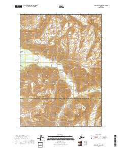
2018 · Lake Clark D-2 NW
USGS Topo · 1:25,000