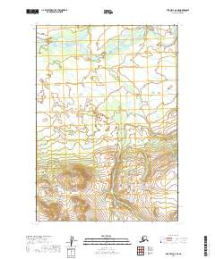
2019 Map of Lime Hills B-6 NE
USGS Topo · Published 2019About this map
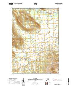
Swift River and its tributary, the North Fork Swift River, dominate the northern expanse of this glacial landscape in the Bethel Census Area. The topography transitions sharply from the broad, braided river valley in the north to the high, unnamed peaks and ridges of the southern portion, where elevations reach over 2,400 feet. This 2019 survey, produced by the U.S. Geological Survey, details the complex network of wetlands and small ponds scattered across the lowlands between the mountain slopes and the riverbanks. The map is primarily an environmental study of an unpopulated wilderness, defined by the t16n r32w and t15n r32w township boundaries, reflecting the remote interior of the Lime Hills region before any modern infrastructure or settlement took root.
Find a feature on this map
6 named features on this map. Tap any name to fly to it.
Don’t see what you’re looking for? This feature index may not catch every label — zoom into the map to look around manually.
Map Details
Editions of this 2019 Lime Hills B-6 NE Map
This is the sole edition of this map. No revisions or reprints were ever made.
Other maps of this area

1951 · Lime Hills
USGS Topo · 1:250,000

1954 · Lime Hills C-6
USGS Topo · 1:63,360
1954 · Lime Hills C-5
USGS Topo · 1:63,360

1954 · Lime Hills B-5
USGS Topo · 1:63,360

1954 · Lime Hills B-6
USGS Topo · 1:63,360

1958 · Lime Hills
USGS Topo · 1:250,000
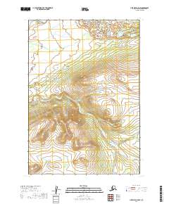
2019 · Lime Hills B-5 NW
USGS Topo · 1:25,000
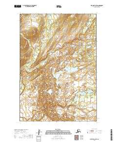
2019 · Lime Hills C-5 SW
USGS Topo · 1:25,000
2019 · Lime Hills B-6 NW
USGS Topo · 1:25,000
2019 · Lime Hills B-5 SW
USGS Topo · 1:25,000