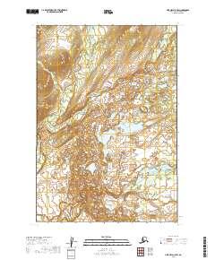
2019 Map of Lime Hills C-5 SW
USGS Topo · Published 2019About this map
Swift River and the North Fork Swift River converge within this remote drainage in the Bethel Census Area. The landscape is defined by the braided channels of these glacial watercourses, which meander through a series of low-lying wetlands and complex topography. The Babel River enters from the north, contributing to a drainage network that has historically dictated movement and seasonal travel through this interior region. This modern survey, based on data from the U.S. Geological Survey and the BLM, delineates the township and range boundaries across T16N through T18N, providing a clear view of the hydrological patterns and land divisions before any significant human development.
Find a feature on this map
9 named features on this map. Tap any name to fly to it.
Don’t see what you’re looking for? This feature index may not catch every label — zoom into the map to look around manually.
Map Details
Editions of this 2019 Lime Hills C-5 SW Map
This is the sole edition of this map. No revisions or reprints were ever made.
Other maps of this area

1951 · Lime Hills
USGS Topo · 1:250,000

1954 · Lime Hills C-6
USGS Topo · 1:63,360
1954 · Lime Hills C-5
USGS Topo · 1:63,360

1954 · Lime Hills B-5
USGS Topo · 1:63,360

1954 · Lime Hills B-6
USGS Topo · 1:63,360

1958 · Lime Hills
USGS Topo · 1:250,000
2019 · Lime Hills B-5 NW
USGS Topo · 1:25,000
2019 · Lime Hills C-6 NE
USGS Topo · 1:25,000
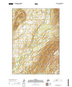
2019 · Lime Hills C-5 NE
USGS Topo · 1:25,000
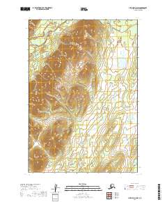
2019 · Lime Hills C-5 NW
USGS Topo · 1:25,000