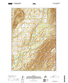
2019 Map of Lime Hills C-5 NE
USGS Topo · Published 2019About this map
The Babel River dominates the drainage of this interior Alaska wilderness, meandering through the lowlands between t19n r30w and t19n r29w. The landscape transition is evident where the river courses through relatively flat wetland areas before the terrain rises sharply toward the east and south. In the southeastern corner, the North Fork Swift River cuts through more pronounced topographic relief, reflecting the complex water systems that define the Bethel Census Area. The lack of named settlements or roads underscores the remote character of this region during the 2010s, where the primary identifiers remain the established township boundaries and the natural waterways that shape the land.
Find a feature on this map
6 named features on this map. Tap any name to fly to it.
Don’t see what you’re looking for? This feature index may not catch every label — zoom into the map to look around manually.
Map Details
Editions of this 2019 Lime Hills C-5 NE Map
This is the sole edition of this map. No revisions or reprints were ever made.
Other maps of this area

1951 · Lime Hills
USGS Topo · 1:250,000

1954 · Lime Hills D-5
USGS Topo · 1:63,360
1954 · Lime Hills C-5
USGS Topo · 1:63,360

1958 · Lime Hills C-4
USGS Topo · 1:63,360
1958 · Lime Hills D-4
USGS Topo · 1:63,360

1958 · Lime Hills
USGS Topo · 1:250,000
2019 · Lime Hills D-5 SE
USGS Topo · 1:25,000
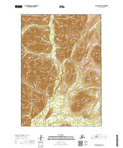
2019 · Lime Hills D-5 SW
USGS Topo · 1:25,000
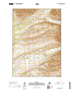
2019 · Lime Hills C-4 NW
USGS Topo · 1:25,000
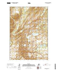
2019 · Lime Hills C-5 SW
USGS Topo · 1:25,000