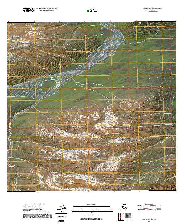
2019 Map of Lime Hills C-2 NE
USGS Topo · Published 2019About this map
Hartman River winds through the northern portion of this landscape, its path defined by the steep elevation contours of the Alaska Interior. The drainage patterns across this terrain eventually reach the South Fork Kuskokwim River, which marks the southeastern boundary of the area. This 2019 survey documents a wilderness void of modern road infrastructure or permanent settlements, where the geography is organized primarily by the Public Land Survey System grids of t19n r24w, t19n r23w, t18n r24w, and t18n r23w. The map provides a detailed record of the high-altitude topography and river systems before further climatic or geomorphic changes alter these remote northern waterways.
Find a feature on this map
6 named features on this map. Tap any name to fly to it.
Don’t see what you’re looking for? This feature index may not catch every label — zoom into the map to look around manually.
Map Details
Editions of this 2019 Lime Hills C-2 NE Map
This is the sole edition of this map. No revisions or reprints were ever made.
Other maps of this area

1951 · Lime Hills
USGS Topo · 1:250,000
1958 · Lime Hills D-1
USGS Topo · 1:63,360

1958 · Lime Hills C-1
USGS Topo · 1:63,360

1958 · Lime Hills C-2
USGS Topo · 1:63,360
1958 · Lime Hills D-2
USGS Topo · 1:63,360

1958 · Lime Hills
USGS Topo · 1:250,000
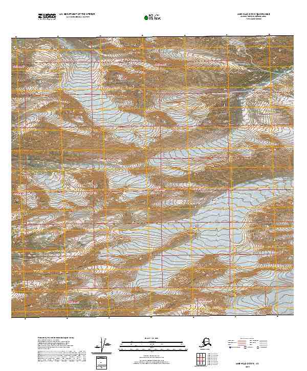
2019 · Lime Hills C-2 SW
USGS Topo · 1:25,000
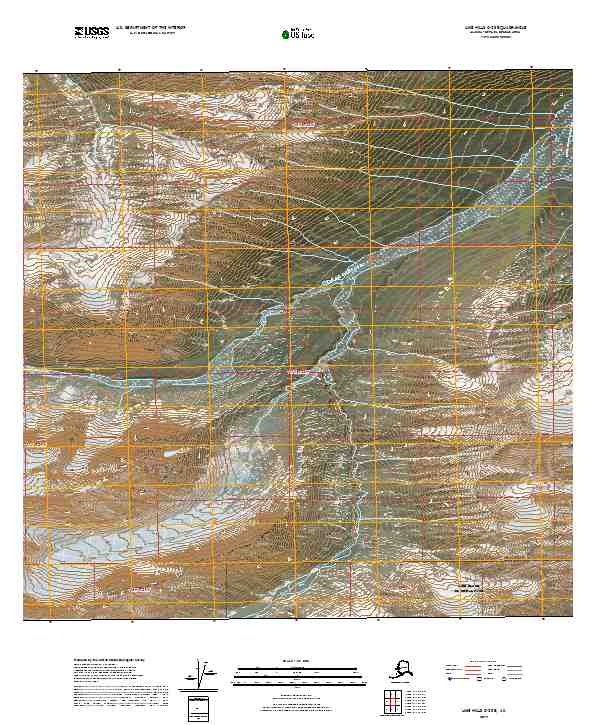
2019 · Lime Hills C-2 SE
USGS Topo · 1:25,000
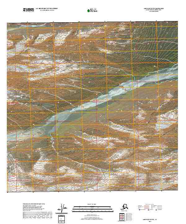
2019 · Lime Hills D-2 SW
USGS Topo · 1:25,000
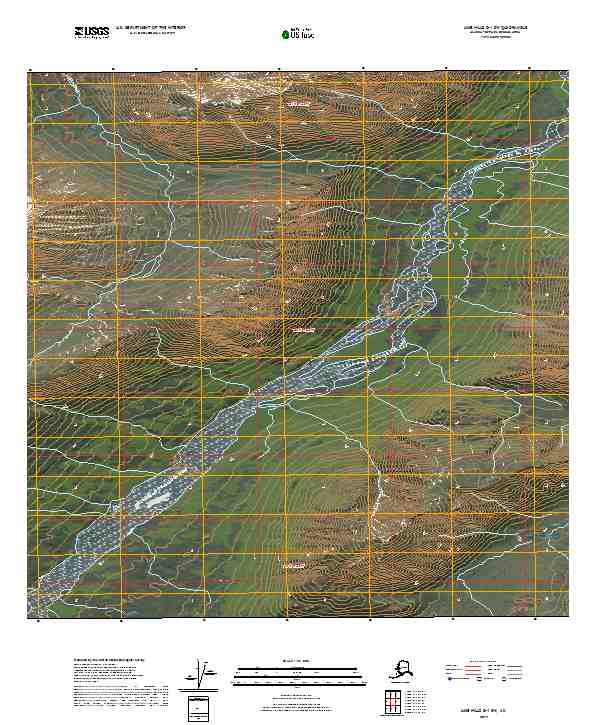
2019 · Lime Hills D-1 SW
USGS Topo · 1:25,000