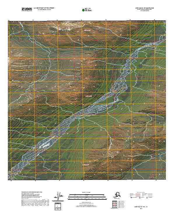
2019 Map of Lime Hills D-1 SW
USGS Topo · Published 2019About this map
The South Fork Kuskokwim River defines the lower drainage of this Alaskan interior landscape, carving a wide alluvial valley through the high country of the Bethel Census Area. Recorded in 2019, the terrain is characterized by dramatic elevation changes, with ridges rising sharply from the riverbanks towards the western and eastern boundaries. The drainage of Johnson Cr feeds into this system from the northwest, illustrating the complex hydrology of the Kuskokwim watershed. This topographic record serves as a primary reference for the intricate township and range divisions, including t20n r22w and t21n r22w, which organize the remote territory. The lack of established roads or structures emphasizes the isolation of this river corridor, where the natural flow of the water remains the primary path through the steep, unpopulated mountains.
Find a feature on this map
8 named features on this map. Tap any name to fly to it.
Don’t see what you’re looking for? This feature index may not catch every label — zoom into the map to look around manually.
Map Details
Editions of this 2019 Lime Hills D-1 SW Map
This is the sole edition of this map. No revisions or reprints were ever made.
Other maps of this area

1951 · Lime Hills
USGS Topo · 1:250,000
1958 · Lime Hills D-1
USGS Topo · 1:63,360

1958 · Lime Hills C-1
USGS Topo · 1:63,360

1958 · Lime Hills C-2
USGS Topo · 1:63,360
1958 · Lime Hills D-2
USGS Topo · 1:63,360

1958 · Lime Hills
USGS Topo · 1:250,000
2017 · Lime Hills D-1 SE
USGS Topo · 1:25,000
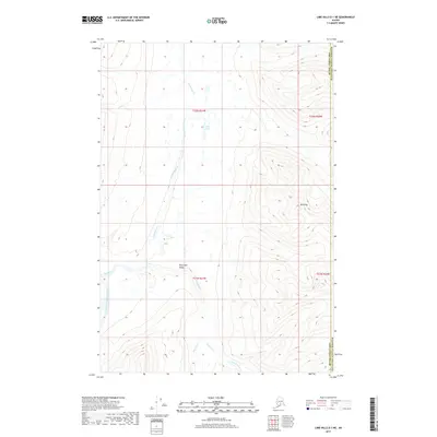
2017 · Lime Hills D-1 NE
USGS Topo · 1:25,000
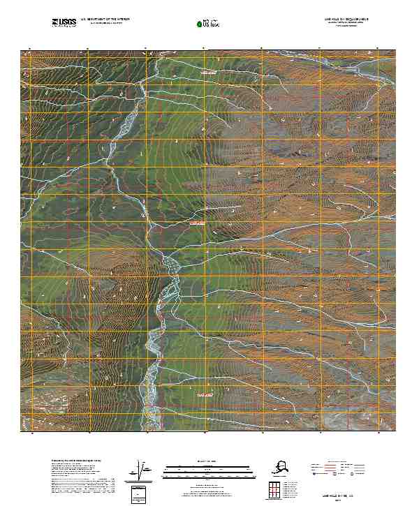
2019 · Lime Hills D-1 SE
USGS Topo · 1:25,000
2019 · LIme Hills C-1 NE
USGS Topo · 1:25,000