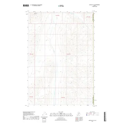
2017 Map of Lime Hills D-1 SE
USGS Topo · Published 2017About this map
Twin Sisters Peak dominates the northwestern corner of this 2017 survey, marking a high point in the complex terrain of the Alaska interior. The landscape is defined by the braided path of the Styx River, which flows southward through a wide valley between steep ridges. This corridor, flanked by tributary drainages like Timber Creek in the northeast, represents a significant natural passage through the wilderness. The map documents the jurisdictional divide between the Bethel Census Area and Matanuska-Susitna Borough, showing how modern administrative boundaries intersect with the ancient geographic features of the region. This 1:25,000 scale study provides a precise look at the land's contours and hydrology at the start of the twenty-first century.
Find a feature on this map
10 named features on this map. Tap any name to fly to it.
Don’t see what you’re looking for? This feature index may not catch every label — zoom into the map to look around manually.
Map Details
Editions of this 2017 Lime Hills D-1 SE Map
This is the sole edition of this map. No revisions or reprints were ever made.
Other maps of this area

1949 · Tyonek
USGS Topo · 1:250,000

1951 · Tyonek
USGS Topo · 1:250,000

1951 · Lime Hills
USGS Topo · 1:250,000

1958 · Tyonek C-8
USGS Topo · 1:63,360

1958 · Tyonek D-8
USGS Topo · 1:63,360

1958 · Tyonek
USGS Topo · 1:250,000
1958 · Lime Hills D-1
USGS Topo · 1:63,360

1958 · Lime Hills C-1
USGS Topo · 1:63,360

1958 · Lime Hills
USGS Topo · 1:250,000

1965 · Tyonek
USGS Topo · 1:250,000