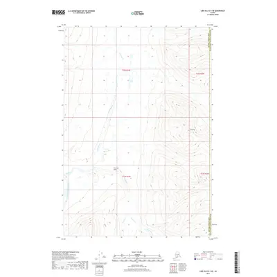
2017 Map of Lime Hills D-1 NE
USGS Topo · Published 2017About this map
The South Fork Kuskokwim River defines the lower-lying southwestern reaches of this terrain, where it meets the drainage of the Styx River. Flowing out of the high country to the north, Ptarmigan Cr carves through the Ptarmigan Valley, a distinct geographical corridor between steep ridges. The map captures a largely untouched wilderness landscape at the boundary of the Matanuska-Susitna Borough and the Bethel Census Area. To the east, the elevation climbs significantly toward Mt Greig, while Styx Lake sits as a lonely water body among the northern peaks. This 2017 survey provides a detailed record of water drainage patterns including Timber Creek, documenting the hydrologic network that feeds into the Kuskokwim system before any modern development altered these remote drainages.
Find a feature on this map
13 named features on this map. Tap any name to fly to it.
Don’t see what you’re looking for? This feature index may not catch every label — zoom into the map to look around manually.
Map Details
Editions of this 2017 Lime Hills D-1 NE Map
This is the sole edition of this map. No revisions or reprints were ever made.
Other maps of this area

1949 · Tyonek
USGS Topo · 1:250,000

1949 · McGrath
USGS Topo · 1:250,000

1950 · McGrath
USGS Topo · 1:250,000

1950 · Talkeetna
USGS Topo · 1:250,000

1951 · Talkeetna
USGS Topo · 1:250,000

1951 · Tyonek
USGS Topo · 1:250,000

1951 · Lime Hills
USGS Topo · 1:250,000

1958 · Talkeetna A-6
USGS Topo · 1:63,360

1958 · McGrath A-1
USGS Topo · 1:63,360

1958 · Tyonek D-8
USGS Topo · 1:63,360