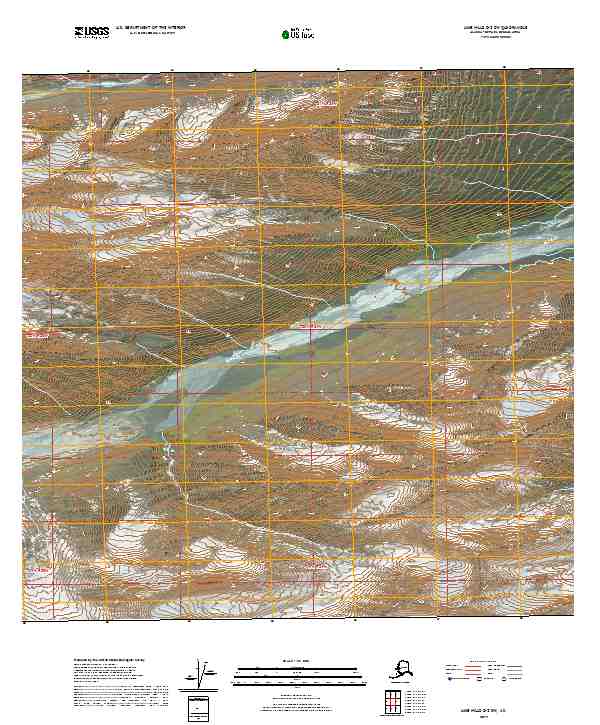
2019 Map of Lime Hills D-2 SW
USGS Topo · Published 2019About this map
Post River flows across the northern edge of this remote Alaskan interior landscape, which is defined by significant elevation changes and glacial valley formations within the Bethel Census Area. The central and eastern portions of the map are dominated by the winding course of Fish Creek, which carves through a series of steep drainages as it moves toward the south and west. This 2019 survey, produced by the U.S. Geological Survey, uses high-resolution data to detail the intricate hydrological network of unnamed streams and high mountain ridges that characterize the Alaska Range. The Absence of named settlements or infrastructure highlights the raw, undeveloped state of this territory, where the topography itself is the primary record of the land. It remains a crucial document for those studying the natural history and hydrologic patterns of the Lime Hills region.
Find a feature on this map
8 named features on this map. Tap any name to fly to it.
Don’t see what you’re looking for? This feature index may not catch every label — zoom into the map to look around manually.
Map Details
Editions of this 2019 Lime Hills D-2 SW Map
This is the sole edition of this map. No revisions or reprints were ever made.
Other maps of this area

1951 · Lime Hills
USGS Topo · 1:250,000

1958 · Lime Hills C-3
USGS Topo · 1:63,360

1958 · Lime Hills C-2
USGS Topo · 1:63,360

1958 · Lime Hills D-3
USGS Topo · 1:63,360
1958 · Lime Hills D-2
USGS Topo · 1:63,360

1958 · Lime Hills
USGS Topo · 1:250,000
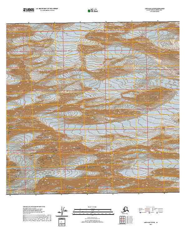
2019 · Lime Hills C-3 NE
USGS Topo · 1:25,000
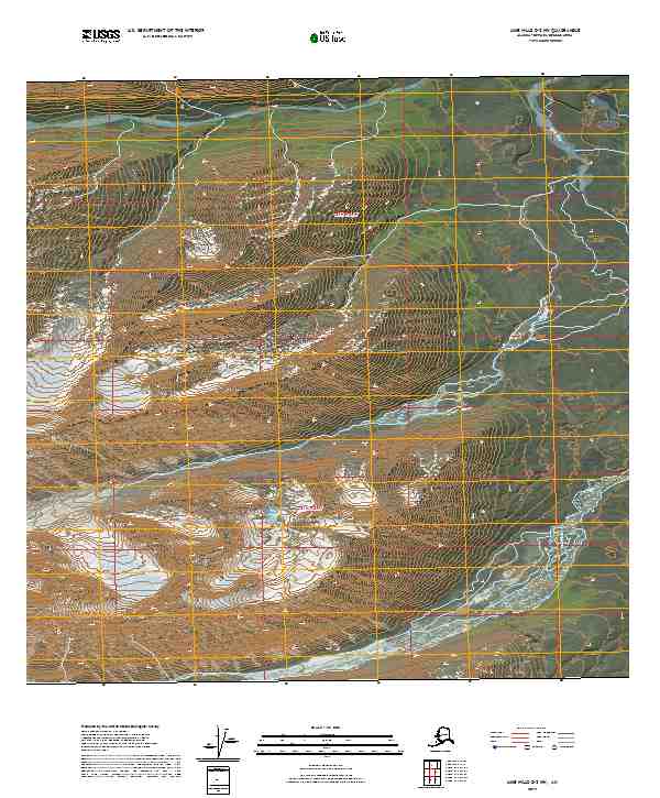
2019 · Lime Hills D-2 NW
USGS Topo · 1:25,000
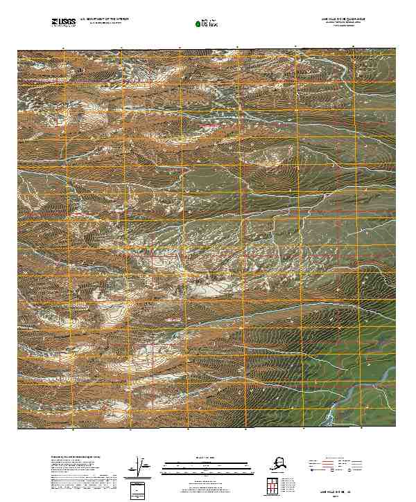
2019 · Lime Hills D-2 NE
USGS Topo · 1:25,000
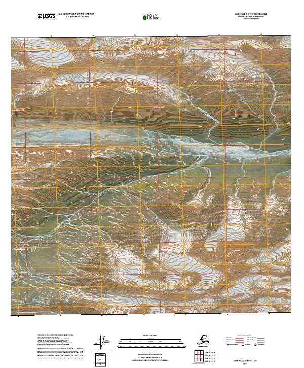
2019 · Lime Hills C-2 NW
USGS Topo · 1:25,000