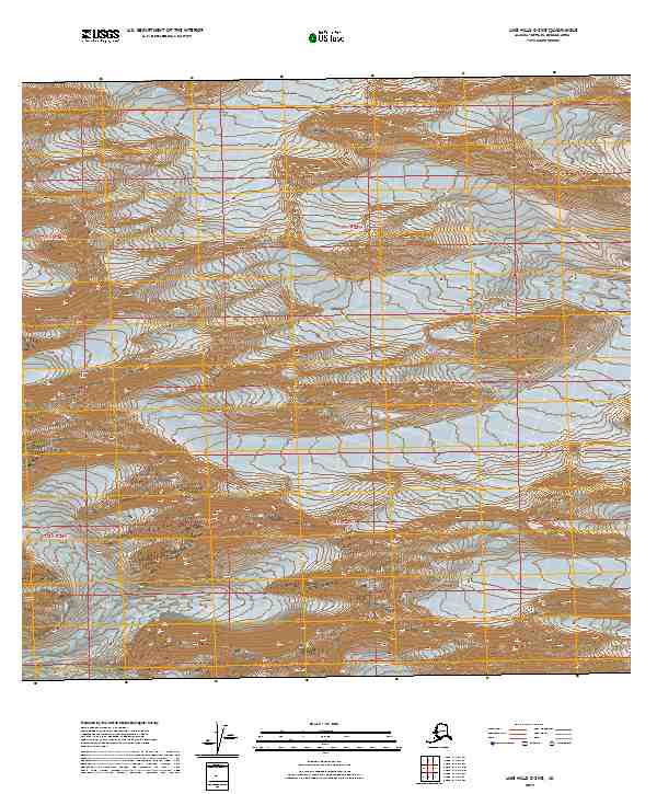
2019 Map of Lime Hills C-3 NE
USGS Topo · Published 2019About this map
Stony River winds through the interior landscape of the Lime Hills region, providing a primary hydrological corridor through this remote Alaskan terrain. This 2019 survey documents the extensive drainage patterns and high-elevation relief across several township boundaries, including t19n r25w and t18n r26w. The intricate contour data reflects the complex topography characteristic of the Bethel Census Area, revealing how the water system dictates the local land structure. Geographers and researchers can observe the relationship between the river's path and the surrounding mountainous survey blocks as they were recorded at the end of the 2010s.
Find a feature on this map
5 named features on this map. Tap any name to fly to it.
Don’t see what you’re looking for? This feature index may not catch every label — zoom into the map to look around manually.
Map Details
Editions of this 2019 Lime Hills C-3 NE Map
This is the sole edition of this map. No revisions or reprints were ever made.
Other maps of this area

1951 · Lime Hills
USGS Topo · 1:250,000

1958 · Lime Hills C-3
USGS Topo · 1:63,360

1958 · Lime Hills C-2
USGS Topo · 1:63,360

1958 · Lime Hills D-3
USGS Topo · 1:63,360
1958 · Lime Hills D-2
USGS Topo · 1:63,360

1958 · Lime Hills
USGS Topo · 1:250,000
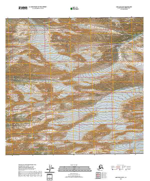
2019 · Lime Hills C-2 SW
USGS Topo · 1:25,000
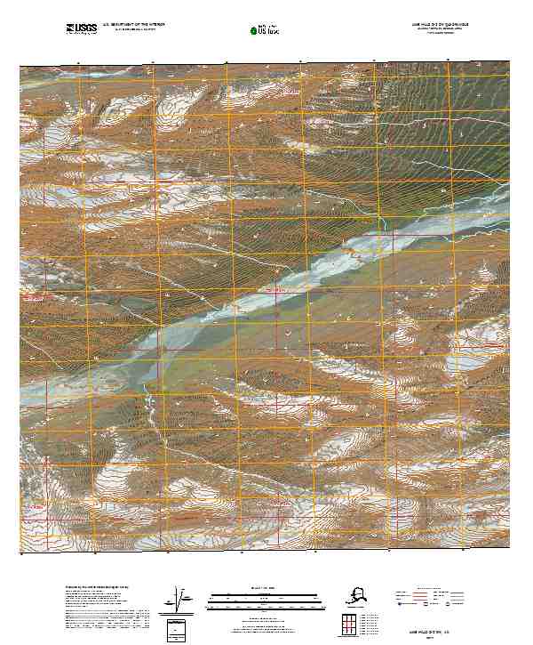
2019 · Lime Hills D-2 SW
USGS Topo · 1:25,000
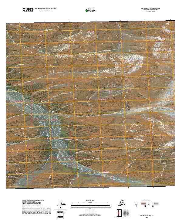
2019 · Lime Hills D-3 SW
USGS Topo · 1:25,000
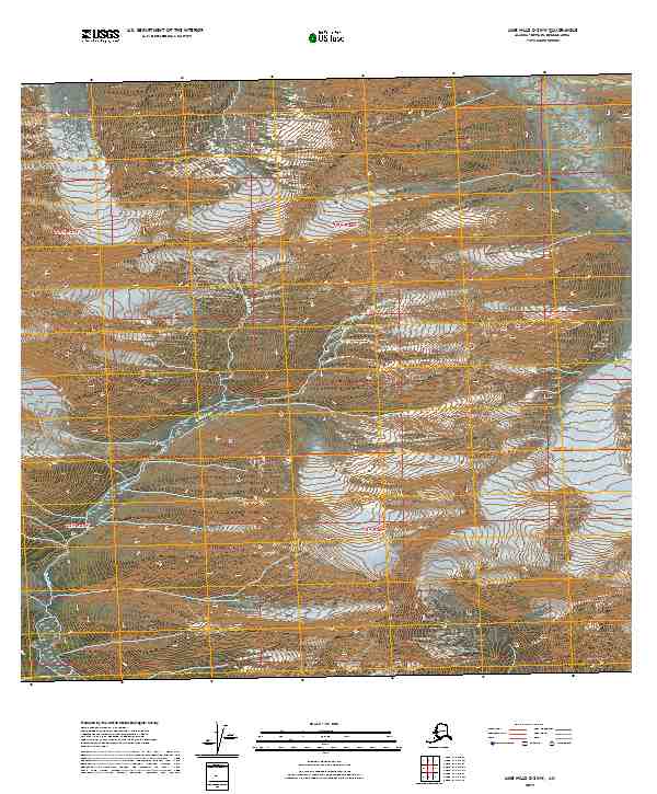
2019 · Lime Hills C-3 NW
USGS Topo · 1:25,000