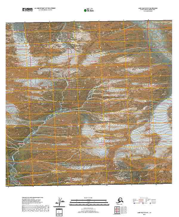
2019 Map of Lime Hills C-3 NW
USGS Topo · Published 2019About this map
Swift River dominates this high-latitude terrain within the Bethel Census Area, winding through a complex system of glacial valleys and steep topographical gradients. The map highlights the physical presence of Revelation Glacier in the northwest, illustrating the persistent ice fields that continue to carve this portion of the Alaska Range. Grounded in surveying data from the U.S. Geological Survey, the sheet delineates the township and range lines for t19n r27w, t19n r26w, and their southern counterparts, offering a precise look at how this uninhabited wilderness is legally partitioned. The lack of roads or structures emphasizes the isolation of this river-and-ice landscape, where the shifting margins of the glacier and the braided path of the river remain the primary features of interest for those studying the subarctic environment.
Find a feature on this map
6 named features on this map. Tap any name to fly to it.
Don’t see what you’re looking for? This feature index may not catch every label — zoom into the map to look around manually.
Map Details
Editions of this 2019 Lime Hills C-3 NW Map
This is the sole edition of this map. No revisions or reprints were ever made.
Other maps of this area

1951 · Lime Hills
USGS Topo · 1:250,000

1958 · Lime Hills C-3
USGS Topo · 1:63,360

1958 · Lime Hills D-3
USGS Topo · 1:63,360

1958 · Lime Hills C-4
USGS Topo · 1:63,360
1958 · Lime Hills D-4
USGS Topo · 1:63,360

1958 · Lime Hills
USGS Topo · 1:250,000
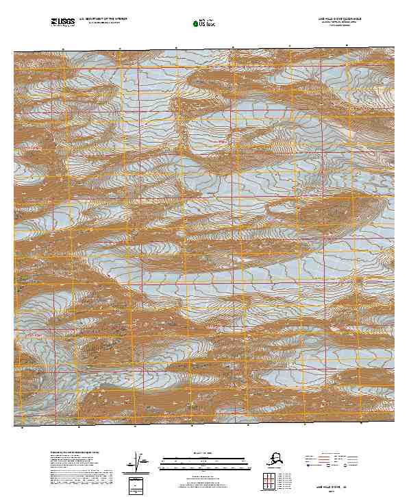
2019 · Lime Hills C-3 NE
USGS Topo · 1:25,000
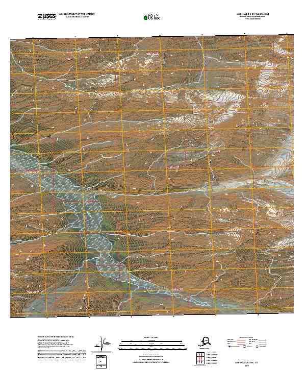
2019 · Lime Hills D-3 SW
USGS Topo · 1:25,000
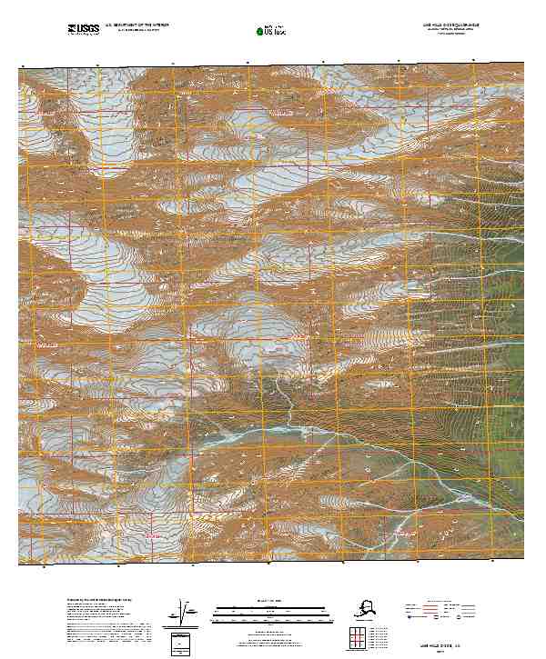
2019 · Lime Hills C-3 SE
USGS Topo · 1:25,000
2019 · Lime Hills D-4 SE
USGS Topo · 1:25,000