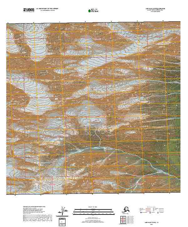
2019 Map of Lime Hills C-3 SE
USGS Topo · Published 2019About this map
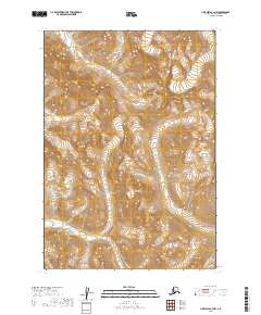
Stony Glacier feeds into the high-altitude drainage systems of the Bethel Census Area, where the Stony River snakes through steep, alpine terrain. This 2019 survey documents a landscape defined by significant elevation changes, ranging from under 2,000 feet to peaks exceeding 8,000 feet. The intricate contour lines illustrate a glacial environment where ice and water have carved deep valleys through the Lime Hills. The mapping of Stony River as it flows south and east provides essential data for understanding the hydrography of this interior Alaskan wilderness. As part of the US Topo series, this sheet utilizes precision elevation datasets to track the complex topography of the southern slopes of the Lime Hills.
Find a feature on this map
8 named features on this map. Tap any name to fly to it.
Don’t see what you’re looking for? This feature index may not catch every label — zoom into the map to look around manually.
Map Details
Editions of this 2019 Lime Hills C-3 SE Map
This is the sole edition of this map. No revisions or reprints were ever made.
Other maps of this area

1951 · Lime Hills
USGS Topo · 1:250,000

1954 · Lime Hills B-3
USGS Topo · 1:63,360

1958 · Lime Hills C-3
USGS Topo · 1:63,360

1958 · Lime Hills C-2
USGS Topo · 1:63,360
1958 · Lime Hills B-2
USGS Topo · 1:63,360

1958 · Lime Hills
USGS Topo · 1:250,000
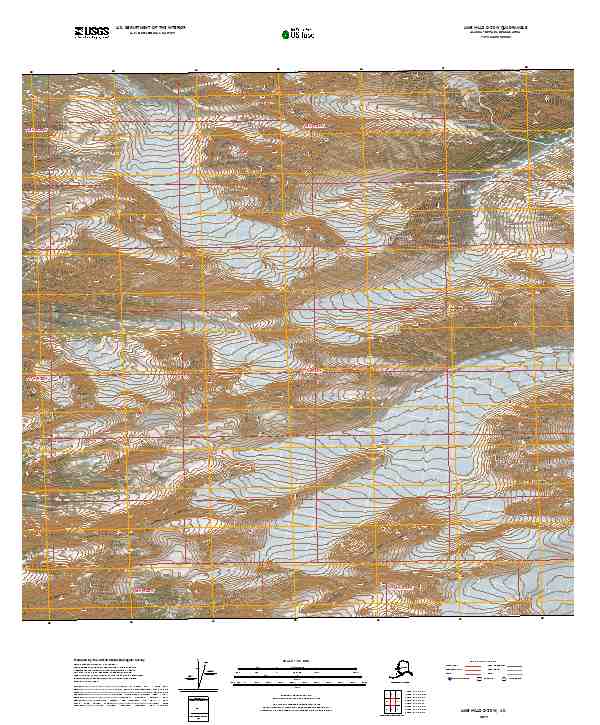
2019 · Lime Hills C-2 SW
USGS Topo · 1:25,000
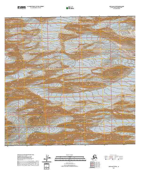
2019 · Lime Hills C-3 NE
USGS Topo · 1:25,000
2019 · Lime Hills B-3 NW
USGS Topo · 1:25,000
2019 · Lime Hills C-3 NW
USGS Topo · 1:25,000