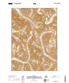
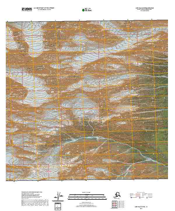
2019 Map of Lime Hills B-3 NW
USGS Topo · Published 2019About this map
Three Pup Glacier clings to the high north-facing slopes in the upper reaches of the Bethel Census Area, illustrating the glacial processes still active in this part of the Alaska interior. The landscape is defined by the steep headwaters of the region's drainage systems, where meltwater from Three Pup Glacier feeds southward into Tired Pup Cr. Further south, the map records the winding path of Little Underhill Cr, which navigates the lower-elevation valleys. This 2019 survey documents a wilderness environment shaped by ice and elevation, where names like those of the pup glaciers and creeks provide the only markers in an otherwise unsettled terrain. The topographic detail captures the transition from permanent ice fields to the high-altitude riparian corridors that define the Lime Hills region.
Find a feature on this map
7 named features on this map. Tap any name to fly to it.
Don’t see what you’re looking for? This feature index may not catch every label — zoom into the map to look around manually.
Map Details
Editions of this 2019 Lime Hills B-3 NW Map
This is the sole edition of this map. No revisions or reprints were ever made.
Other maps of this area

1951 · Lime Hills
USGS Topo · 1:250,000

1954 · Lime Hills B-4
USGS Topo · 1:63,360

1954 · Lime Hills B-3
USGS Topo · 1:63,360

1958 · Lime Hills C-3
USGS Topo · 1:63,360

1958 · Lime Hills C-4
USGS Topo · 1:63,360

1958 · Lime Hills
USGS Topo · 1:250,000
2019 · Lime Hills B-3 SW
USGS Topo · 1:25,000
2019 · Lime Hills B-4 SE
USGS Topo · 1:25,000
2019 · Lime Hills B-3 SE
USGS Topo · 1:25,000
2019 · Lime Hills C-3 SE
USGS Topo · 1:25,000