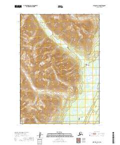
2019 Map of Lime Hills B-3 SE
USGS Topo · Published 2019About this map
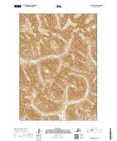
Lake Clark National Preserve covers the southern terrain of this quadrangle, where the massive braided channel of the Stony River winds through a broad glacial valley. The landscape is defined by its extreme isolation and the transition from high mountainous ridges to the river's extensive floodplain. In the southern reach of the valley, the Stony Mountain Lodge Airport stands as a rare point of human infrastructure, indicating the area's reliance on bush aviation for access to this interior wilderness. To the north, the drainage of Tired Pup Creek cuts through steep elevation contours, feeding into the larger river system that dominates the regional geography. This survey illustrates the intricate water networks and severe topography of the Bethel Census Area before modern development could alter its fundamental character.
Find a feature on this map
10 named features on this map. Tap any name to fly to it.
Don’t see what you’re looking for? This feature index may not catch every label — zoom into the map to look around manually.
Map Details
Editions of this 2019 Lime Hills B-3 SE Map
This is the sole edition of this map. No revisions or reprints were ever made.
Other maps of this area

1951 · Lime Hills
USGS Topo · 1:250,000

1954 · Lime Hills A-3
USGS Topo · 1:63,360

1954 · Lime Hills B-3
USGS Topo · 1:63,360

1958 · Lime Hills A-2
USGS Topo · 1:63,360
1958 · Lime Hills B-2
USGS Topo · 1:63,360

1958 · Lime Hills
USGS Topo · 1:250,000
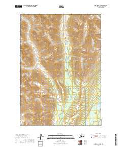
2019 · Lime Hills A-3 NW
USGS Topo · 1:25,000

2019 · Lime Hills B-3 NW
USGS Topo · 1:25,000
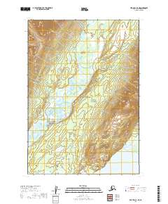
2019 · Lime Hills A-3 NE
USGS Topo · 1:25,000
2019 · Lime Hills B-3 SW
USGS Topo · 1:25,000