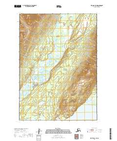
2019 Map of Lime Hills A-3 NE
USGS Topo · Published 2019About this map
Lake Clark National Preserve occupies the central portion of this wilderness landscape, where the braided channels of the Stony River meander through a broad valley. The terrain transitions from the marshy lowlands along the riverbanks to the steep, unnamed slopes of the Alaska Range that rise sharply in the northeastern and southeastern corners. In the southern reach of the sheet, the northern tip of Two Lakes sits at the foot of these elevations, while the Necons River enters from the east. The absence of roads, settlements, or structures emphasizes the isolation of this interior region, illustrating the protected character of the preserve and the natural hydrologic patterns of the river systems as they appeared in 2019.
Find a feature on this map
8 named features on this map. Tap any name to fly to it.
Don’t see what you’re looking for? This feature index may not catch every label — zoom into the map to look around manually.
Map Details
Editions of this 2019 Lime Hills A-3 NE Map
This is the sole edition of this map. No revisions or reprints were ever made.
Other maps of this area

1951 · Lime Hills
USGS Topo · 1:250,000

1954 · Lime Hills A-3
USGS Topo · 1:63,360

1954 · Lime Hills B-3
USGS Topo · 1:63,360

1958 · Lime Hills A-2
USGS Topo · 1:63,360
1958 · Lime Hills B-2
USGS Topo · 1:63,360

1958 · Lime Hills
USGS Topo · 1:250,000
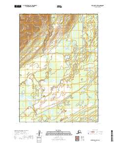
2019 · Lime Hills A-3 SW
USGS Topo · 1:25,000
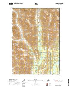
2019 · Lime Hills A-3 NW
USGS Topo · 1:25,000
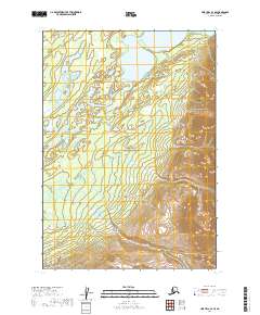
2019 · Lime Hills A-3 SE
USGS Topo · 1:25,000
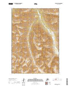
2019 · Lime Hills A-2 SW
USGS Topo · 1:25,000