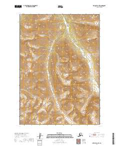
2019 Map of Lime Hills A-2 SW
USGS Topo · Published 2019About this map
Lake Clark National Preserve dominates this 2019 survey, showcasing a landscape defined by dramatic elevation changes and glacially influenced drainage patterns. The Tlikakila River flows through the northeast and southeast sectors, cutting a path through high alpine terrain that rises steeply from the valley floor. This map is characterized by its isolation and the absence of established road networks, reflecting the protected status of the preserve. The cartography focuses on the hydrography of the river corridor and the intricate contours of the surrounding peaks, providing a clear record of the wilderness within the Bethel Census Area. The grid lines of the Public Land Survey System, including t12n r25w and t11n r24w, provide a structural framework for this otherwise unpopulated terrain.
Find a feature on this map
6 named features on this map. Tap any name to fly to it.
Don’t see what you’re looking for? This feature index may not catch every label — zoom into the map to look around manually.
Map Details
Editions of this 2019 Lime Hills A-2 SW Map
This is the sole edition of this map. No revisions or reprints were ever made.
Other maps of this area

1946 · Lake Clark
USGS Topo · 1:250,000

1951 · Lake Clark
USGS Topo · 1:250,000

1951 · Lime Hills
USGS Topo · 1:250,000

1954 · Lime Hills A-3
USGS Topo · 1:63,360

1954 · Lake Clark D-3
USGS Topo · 1:63,360

1958 · Lime Hills A-2
USGS Topo · 1:63,360
1958 · Lake Clark D-2
USGS Topo · 1:63,360

1958 · Lake Clark
USGS Topo · 1:250,000

1958 · Lime Hills
USGS Topo · 1:250,000
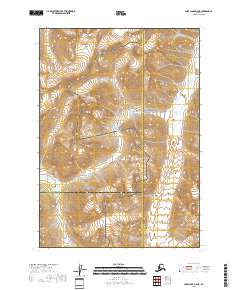
2018 · Lake Clark D-2 NE
USGS Topo · 1:25,000