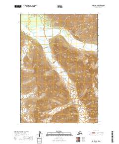
2019 Map of Lime Hills D-4 SE
USGS Topo · Published 2019About this map
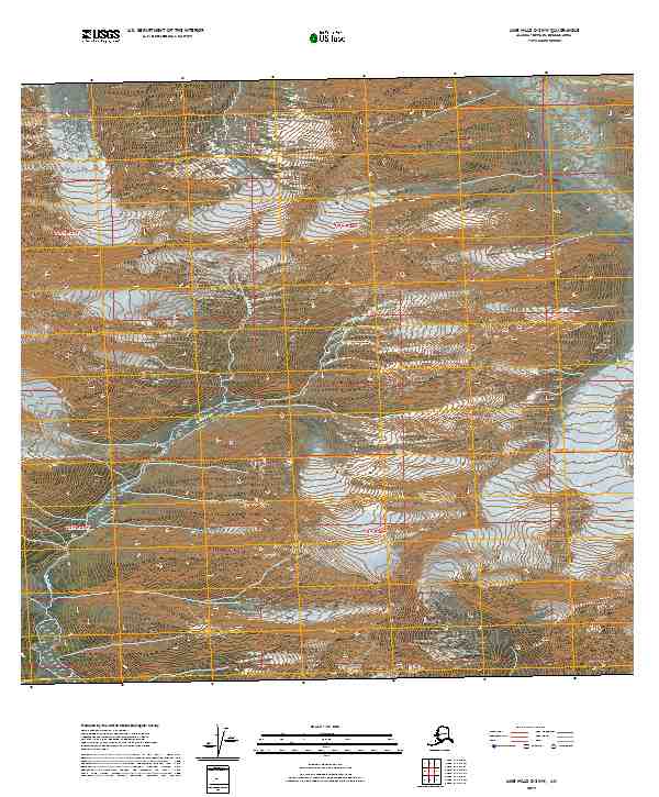
Revelations Glacier dominates the southeastern terrain of this Bethel Census Area quadrant, marking a landscape defined by glacial activity and high mountain drainages. The glacial ice field feeds into several significant waterways, including the northward flow of Big River, which winds through the central and northeastern sections of the survey. To the southwest, the Babel River emerges from the steep slopes, reflecting the complex hydrological network of the Lime Hills. The map documents the vast, uninhabited character of the region during the early 21st century, showing a terrain shaped by ice and water without the presence of permanent settlements or modern road infrastructure. This study area captures the raw state of the Alaskan interior where surveying primarily focuses on the intersection of glaciers and the river systems they sustain.
Find a feature on this map
9 named features on this map. Tap any name to fly to it.
Don’t see what you’re looking for? This feature index may not catch every label — zoom into the map to look around manually.
Map Details
Editions of this 2019 Lime Hills D-4 SE Map
This is the sole edition of this map. No revisions or reprints were ever made.
Other maps of this area

1951 · Lime Hills
USGS Topo · 1:250,000

1958 · Lime Hills C-3
USGS Topo · 1:63,360

1958 · Lime Hills D-3
USGS Topo · 1:63,360

1958 · Lime Hills C-4
USGS Topo · 1:63,360
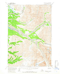
1958 · Lime Hills D-4
USGS Topo · 1:63,360

1958 · Lime Hills
USGS Topo · 1:250,000
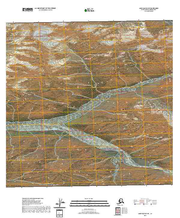
2019 · Lime Hills D-3 NW
USGS Topo · 1:25,000
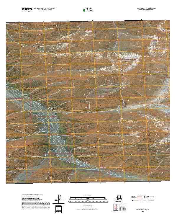
2019 · Lime Hills D-3 SW
USGS Topo · 1:25,000
2019 · Lime Hills C-3 NW
USGS Topo · 1:25,000
2019 · Lime Hills C-4 NW
USGS Topo · 1:25,000