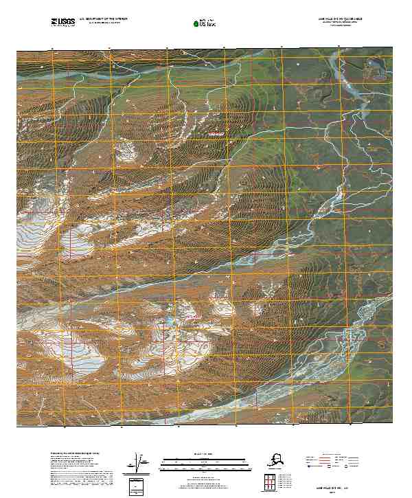
2019 Map of Lime Hills D-2 NW
USGS Topo · Published 2019About this map
The Post River winds through this high-altitude landscape of the Bethel Census Area, illustrating the complex drainage patterns of the southwestern Alaskan interior. As documented in this 2019 survey, the river is the central geographical feature of the quadrangle, flanked by steep elevation changes that define the corridor between the t21n r24w and t22n r24w townships. In the southeastern portion of the sheet, Strand Pass serves as a distinct terrestrial landmark amidst the surrounding peaks. The mapping of these remote townships provides a precise record of the land surface as it appeared in the early 21st century, focusing on the natural hydrography and terrain before human infrastructure or roads moved into these isolated sections.
Find a feature on this map
6 named features on this map. Tap any name to fly to it.
Don’t see what you’re looking for? This feature index may not catch every label — zoom into the map to look around manually.
Map Details
Editions of this 2019 Lime Hills D-2 NW Map
This is the sole edition of this map. No revisions or reprints were ever made.
Other maps of this area

1949 · McGrath
USGS Topo · 1:250,000

1950 · McGrath
USGS Topo · 1:250,000

1951 · Lime Hills
USGS Topo · 1:250,000

1958 · McGrath A-2
USGS Topo · 1:63,360

1958 · Lime Hills D-3
USGS Topo · 1:63,360
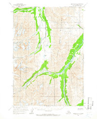
1958 · Lime Hills D-2
USGS Topo · 1:63,360

1958 · McGrath
USGS Topo · 1:250,000

1958 · Lime Hills
USGS Topo · 1:250,000
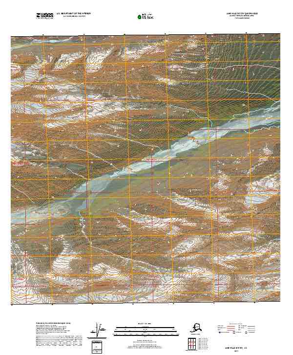
2019 · Lime Hills D-2 SW
USGS Topo · 1:25,000
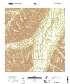
2019 · McGrath A-2 SE
USGS Topo · 1:25,000