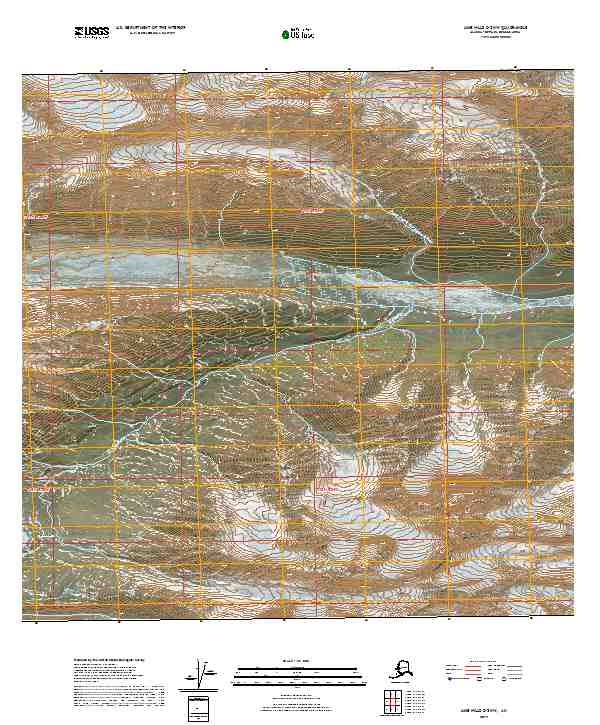
2019 Map of Lime Hills C-2 NW
USGS Topo · Published 2019About this map
Sled Pass serves as a critical geographic notch in this high mountain landscape, providing a natural transition between drainage systems. The hydrography is defined by the Hartman River and its significant tributaries, including the Pass Fork Hartman River and a secondary Pass Fork to the south. These waterways carve through the terrain, illustrating the dramatic elevation changes and glacial-carved valleys typical of the region. The absence of roads or structures emphasizes the wilderness character of the Bethel Census Area in the early 21st century. Instead, the map focuses on the complex topography and the network of mountain streams that dictate travel through this interior Alaskan territory.
Find a feature on this map
8 named features on this map. Tap any name to fly to it.
Don’t see what you’re looking for? This feature index may not catch every label — zoom into the map to look around manually.
Map Details
Editions of this 2019 Lime Hills C-2 NW Map
This is the sole edition of this map. No revisions or reprints were ever made.
Other maps of this area

1951 · Lime Hills
USGS Topo · 1:250,000

1958 · Lime Hills C-3
USGS Topo · 1:63,360

1958 · Lime Hills C-2
USGS Topo · 1:63,360

1958 · Lime Hills D-3
USGS Topo · 1:63,360
1958 · Lime Hills D-2
USGS Topo · 1:63,360

1958 · Lime Hills
USGS Topo · 1:250,000
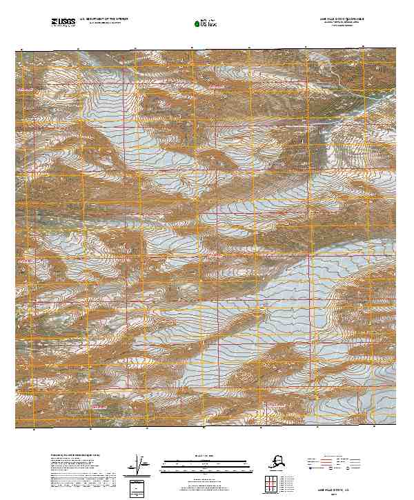
2019 · Lime Hills C-2 SW
USGS Topo · 1:25,000
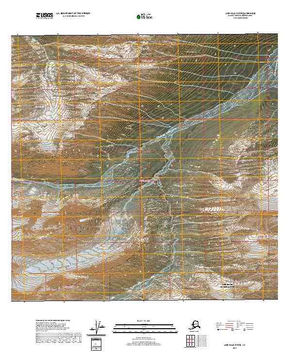
2019 · Lime Hills C-2 SE
USGS Topo · 1:25,000
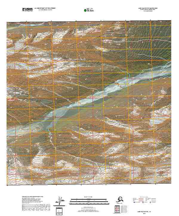
2019 · Lime Hills D-2 SW
USGS Topo · 1:25,000
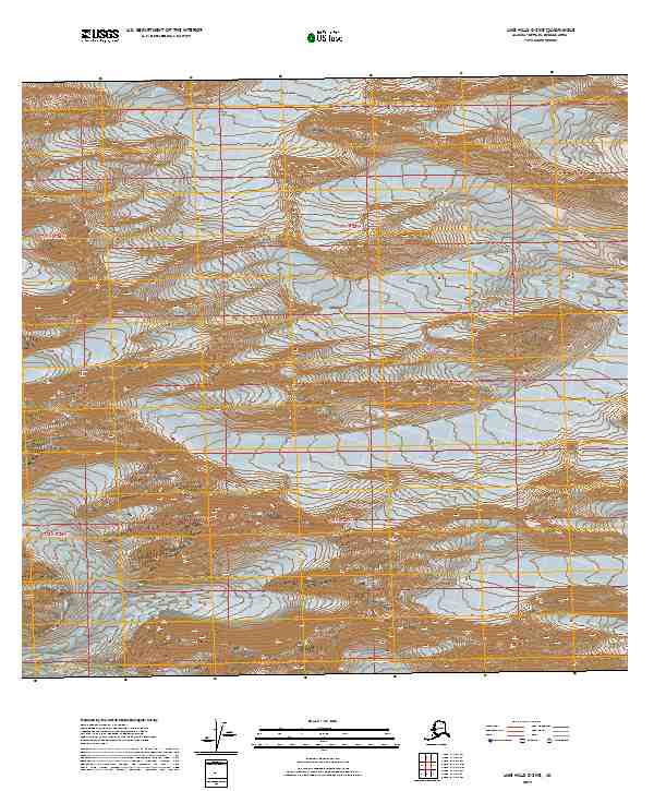
2019 · Lime Hills C-3 NE
USGS Topo · 1:25,000