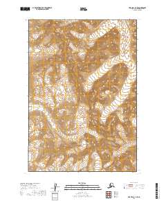
2019 Map of Lime Hills C-4 NE
USGS Topo · Published 2019About this map
The Revelation Glacier dominates the high elevation terrain of this sub-arctic landscape, serving as a primary icy source for the surrounding drainage systems. Glacial meltwater feeds directly into the headwaters of the North Fork Swift River, which carves a deep valley as it flows through the western portion of the region. The map highlights the sharp contrast between the permanent ice fields and the high-gradient watercourses like the N Fork Swift River that define the local topography. This document preserves the land's surface as it stood during the early twenty-first century, showing the precise relationship between moving ice and the remote river networks of the Bethel Census Area.
Find a feature on this map
7 named features on this map. Tap any name to fly to it.
Don’t see what you’re looking for? This feature index may not catch every label — zoom into the map to look around manually.
Map Details
Editions of this 2019 Lime Hills C-4 NE Map
This is the sole edition of this map. No revisions or reprints were ever made.
Other maps of this area

1951 · Lime Hills
USGS Topo · 1:250,000

1958 · Lime Hills C-3
USGS Topo · 1:63,360

1958 · Lime Hills D-3
USGS Topo · 1:63,360

1958 · Lime Hills C-4
USGS Topo · 1:63,360
1958 · Lime Hills D-4
USGS Topo · 1:63,360

1958 · Lime Hills
USGS Topo · 1:250,000
2019 · Lime Hills D-3 SW
USGS Topo · 1:25,000
2019 · Lime Hills C-3 NW
USGS Topo · 1:25,000
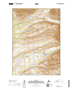
2019 · Lime Hills C-4 NW
USGS Topo · 1:25,000
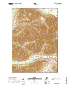
2019 · Lime Hills D-4 SW
USGS Topo · 1:25,000