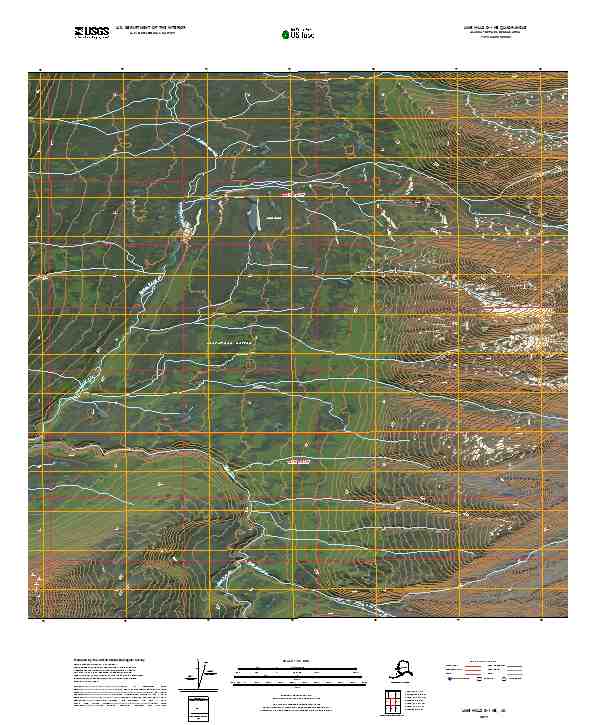
2019 Map of Lime Hills D-1 NE
USGS Topo · Published 2019About this map
South Fork Kuskokwim River defines the western edge of this remote Alaskan terrain, where glacial waters and high-elevation valleys dominate the landscape. The Ptarmigan Valley acts as a central corridor for the Ptarmigan Creek drainage system, which feeds into the complex hydrology of the region alongside the Styx River. This 2019 survey documents a wilderness area devoid of modern infrastructure, preserving the natural state of features like Styx Lake and the various tributaries of Timber Creek. The elevation contours reveal the steep slopes of the Lime Hills, illustrating how the drainage patterns of these smaller creeks eventually converge toward the larger Kuskokwim watershed.
Find a feature on this map
12 named features on this map. Tap any name to fly to it.
Don’t see what you’re looking for? This feature index may not catch every label — zoom into the map to look around manually.
Map Details
Editions of this 2019 Lime Hills D-1 NE Map
This is the sole edition of this map. No revisions or reprints were ever made.
Other maps of this area

1949 · Tyonek
USGS Topo · 1:250,000

1949 · McGrath
USGS Topo · 1:250,000

1950 · McGrath
USGS Topo · 1:250,000

1950 · Talkeetna
USGS Topo · 1:250,000

1951 · Talkeetna
USGS Topo · 1:250,000

1951 · Tyonek
USGS Topo · 1:250,000

1951 · Lime Hills
USGS Topo · 1:250,000

1958 · Talkeetna A-6
USGS Topo · 1:63,360

1958 · McGrath A-1
USGS Topo · 1:63,360

1958 · Tyonek D-8
USGS Topo · 1:63,360