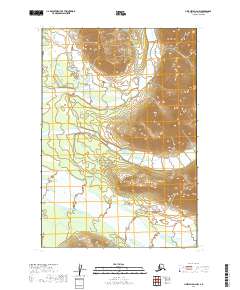
2019 Map of Lime Hills D-4 NW
USGS Topo · Published 2019About this map
The North Fork Big River meanders across this wilderness quadrangle in the Bethel Census Area, illustrating a landscape defined by glacial outwash and braided water systems. This 2019 survey documents a region devoid of permanent settlements or infrastructure, where the terrain is dominated by the broad valley of the river and its tributary, the Lyman Fork. The mapping of townships t22n r28w and t21n r28w reveals the complex hydrologic patterns of the subarctic, showing how seasonal flows shape the drainage basins. For researchers, this sheet provides a high-resolution view of the native topography and watercourses before significant anthropogenic change or modern climate-driven shifts in river morphology.
Find a feature on this map
5 named features on this map. Tap any name to fly to it.
Don’t see what you’re looking for? This feature index may not catch every label — zoom into the map to look around manually.
Map Details
Editions of this 2019 Lime Hills D-4 NW Map
This is the sole edition of this map. No revisions or reprints were ever made.
Other maps of this area

1949 · McGrath
USGS Topo · 1:250,000

1950 · McGrath
USGS Topo · 1:250,000

1951 · Lime Hills
USGS Topo · 1:250,000

1954 · McGrath A-4
USGS Topo · 1:63,360

1954 · Lime Hills D-5
USGS Topo · 1:63,360

1958 · McGrath A-3
USGS Topo · 1:63,360
1958 · Lime Hills D-4
USGS Topo · 1:63,360

1958 · McGrath
USGS Topo · 1:250,000

1958 · Lime Hills
USGS Topo · 1:250,000
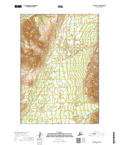
2019 · Lime Hills D-5 SE
USGS Topo · 1:25,000