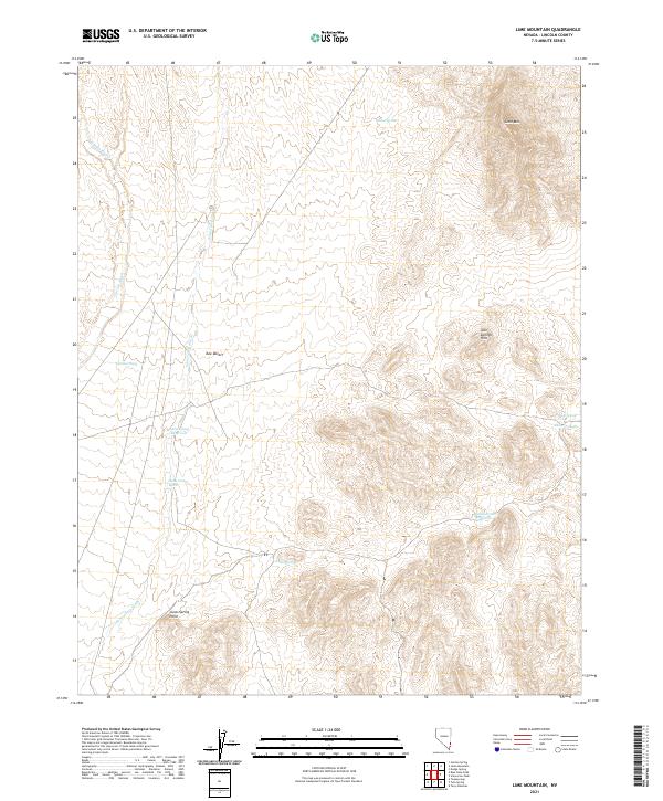
2021 Map of Lime Mountain
USGS Topo · Published 2021About this map
Lime Mtn anchors the northeastern corner of this landscape, overseeing a remote section of Lincoln County characterized by drainage basins and ephemeral water sources. The transition from the high ground of the Tule Springs Hills down into the expansive Tule Desert is traced by several significant washes, including Garden Wash and Sams Camp Wash. These natural conduits dictate the movement of water across an arid terrain where every spring is a critical landmark.
Find a feature on this map
18 named features on this map. Tap any name to fly to it.
Don’t see what you’re looking for? This feature index may not catch every label — zoom into the map to look around manually.
Map Details
Editions of this 2021 Lime Mountain Map
This is the sole edition of this map. No revisions or reprints were ever made.
Other maps of this area

1885 · Pioche
USGS Topo · 1:250,000

1886 · Pioche
USGS Topo · 1:250,000

1954 · Caliente
USGS Topo · 1:250,000

1959 · Caliente
USGS Topo · 1:250,000
1973 · Jacks Mountain
USGS Topo · 1:24,000
1973 · Tule Spring
USGS Topo · 1:24,000
1973 · Scarecrow Peak
USGS Topo · 1:24,000
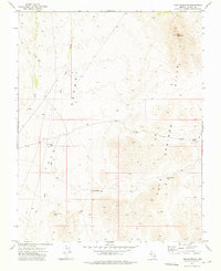
1973 · Lime Mountain
USGS Topo · 1:24,000
1973 · Terry Benches
USGS Topo · 1:24,000
1973 · Toquop Gap
USGS Topo · 1:24,000