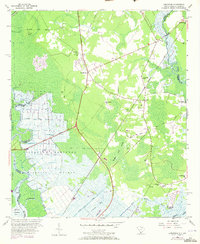
1955 Map of Limehouse
USGS Topo · Published 1973About this map
The coastal wetlands and riverine lowlands of the Georgia and South Carolina border define this 1955 survey area. The Savannah National Wildlife Refuge dominates the southwestern portion of the sheet, where the Little Argyle Island Back River and a network of engineered waterways like the Lucknow Canal and Taylor Canal partition the marshy landscape. These canals and the nearby Monkey John Swamp suggest a historical reliance on water management and drainage for the surrounding terrain.
Find a feature on this map
52 named features on this map. Tap any name to fly to it.
Don’t see what you’re looking for? This feature index may not catch every label — zoom into the map to look around manually.
Map Details
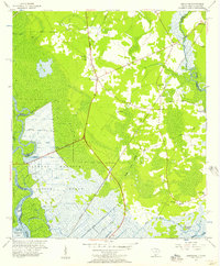
Editions of this 1955 Limehouse Map
2 editions found
Other maps of this area

1920 · Hardeeville
USGS Topo · 1:62,500

1920 · Okatie
USGS Topo · 1:62,500

1920 · Bluffton
USGS Topo · 1:62,500

1942 · Savannah
USGS Topo · 1:62,500

1942 · Okatie
USGS Topo · 1:62,500

1943 · Hardeeville
USGS Topo · 1:62,500

1945 · Bluffton
USGS Topo · 1:62,500

1947 · Savannah
USGS Topo · 1:250,000

1948 · Savannah
USGS Topo · 1:250,000

1953 · Hardeeville
USGS Topo · 1:62,500