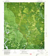
1980 Map of Limehouse
USGS Topo · Published 1980About this map
The Savannah National Wildlife Refuge dominates the western portion of this 1980 orthophotomap, showing a complex landscape of reclaimed rice fields and hydraulic controls such as the Lucknow Canal and Levee systems. This transition zone between the Little Back River and the mainland is marked by numerous family-named burial grounds and churches, reflecting the deep-rooted rural communities of Jasper County. Clusters of heritage sites like Pelot Cem, New Garret Cem, and Mt Olive Ch appear alongside the infrastructure of the Seaboard Coast Line Railroad. The geography is defined by the slow movement of water through Monkey John Swamp and out toward the Wright River, while settlements such as Limehouse and Levy anchor the road network. These aerial-based details provide a clear view of the intersection between coastal wetlands and inland habitation during the late twentieth century.
Find a feature on this map
44 named features on this map. Tap any name to fly to it.
Don’t see what you’re looking for? This feature index may not catch every label — zoom into the map to look around manually.
Map Details
Editions of this 1980 Limehouse Map
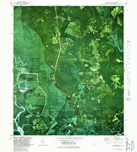
2 editions found
Other maps of this area

1920 · Hardeeville
USGS Topo · 1:62,500

1920 · Okatie
USGS Topo · 1:62,500

1920 · Bluffton
USGS Topo · 1:62,500

1942 · Savannah
USGS Topo · 1:62,500

1942 · Okatie
USGS Topo · 1:62,500

1943 · Hardeeville
USGS Topo · 1:62,500

1945 · Bluffton
USGS Topo · 1:62,500

1947 · Savannah
USGS Topo · 1:250,000

1948 · Savannah
USGS Topo · 1:250,000

1953 · Hardeeville
USGS Topo · 1:62,500