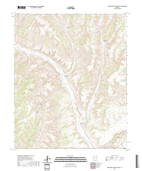
2021 Map of Limestone Canyon South
USGS Topo · Published 2021About this map
Blue Spring and its namesake Blue Spring Canyon form a central hydrological focus in this part of Navajo Co. The landscape is defined by a network of drainage systems including Cibecue Canyon and Turkey Canyon, which are separated by prominent high ground such as Cibecue Ridge and Limestone Ridge. This 2021 survey shows a region where water management is critical for land use, evidenced by the presence of Cedar Mesa Tanks, Lost Tank, and Limestone Ridge Tank Number Two. Access through these deep canyon systems is limited to specific routes like Indian Rte 35 and Indian Rte 36, which follow the natural contours of the terrain. The map provides a detailed view of the remote drainages of Carrizo Cr and Corduroy Cr as they appeared in the early 21st century.
Find a feature on this map
24 named features on this map. Tap any name to fly to it.
Don’t see what you’re looking for? This feature index may not catch every label — zoom into the map to look around manually.
Map Details
Editions of this 2021 Limestone Canyon South Map
This is the sole edition of this map. No revisions or reprints were ever made.
Other maps of this area

1886 · Holbrook
USGS Topo · 1:250,000

1893 · Holbrook
USGS Topo · 1:250,000

1954 · Holbrook
USGS Topo · 1:250,000

1954 · Mesa
USGS Topo · 1:250,000

1957 · Mesa
USGS Topo · 1:250,000

1957 · Holbrook
USGS Topo · 1:250,000

1958 · Mesa
USGS Topo · 1:250,000

1958 · Holbrook
USGS Topo · 1:250,000

1960 · Holbrook
USGS Topo · 1:250,000

1960 · Mesa
USGS Topo · 1:250,000